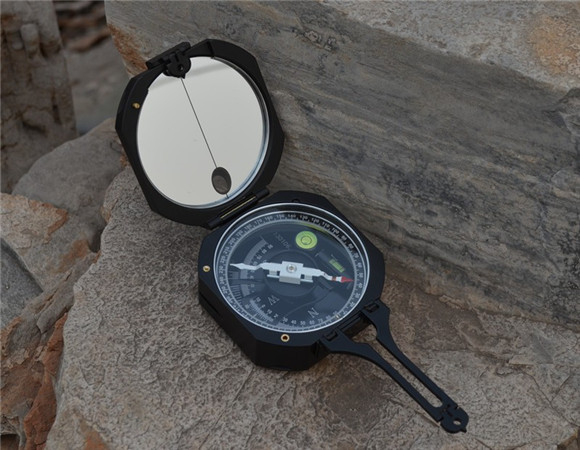
Brunton Type Metal Magnetic Geology compass with clinometer
The compass is a must have tool for anyone working in the field of earth science or geological surveying,
mapping or for navigational use. The compass performs basic tasks such as orientation, while the inbuilt clinometers allow geologists to measure the dip of rock beds or the height of geological and geographical features as well as angles.
Другие товары поставщика
|
|
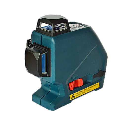
3D Laser Level 12 red or green Beam Line Horizon Vertical 360 degree Rotary Cross Measuring Tool |
Three-Line Laser with Layout Beam produces one horizontal line, two vertical lines plus plumb down point - for level, align, plumb and square appli... |
|
|
Lightweight compact Surveying Compass with Transiting Telescope forestry compass |
Lightweight, compact surveying compass ideal for use where a small pocket transit is needed for general surveying. Includes carrying case with shou... |
|
|
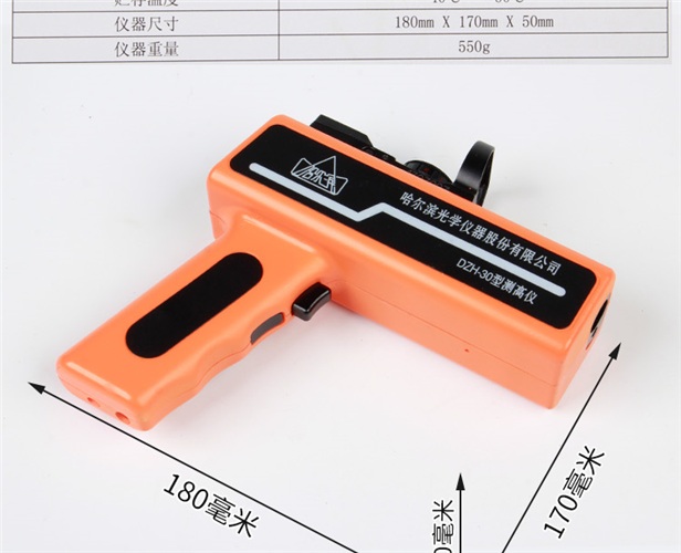
high precision Handheld laser digital height finder or hypsometer of tree |
The altimeter is a digital altimeter, suitable for forestry survey tree height measurement, can also be used for electricity, tower, freight, commu... |
|
|
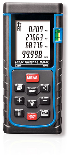
400ft 120M Digital Laser Measure trena Laser Distance meter Rangefinder tester |
The laser rangefinder adopts CEM high standard manufacturing process, high precision machining and high specification inspection, which greatly imp... |
|
|
100-Foot Open Reel Fiberglass Long Tape Rule fiberglass tapes pocket tapes |
Long tape rule designed for maximum accuracy Two-sided printing with fractional and decimal formats for accurate measurement Fiberglass blade bends... |
Все товары поставщика
Похожие товары