

GREENBELT SATELLITE REMOTE SENSING


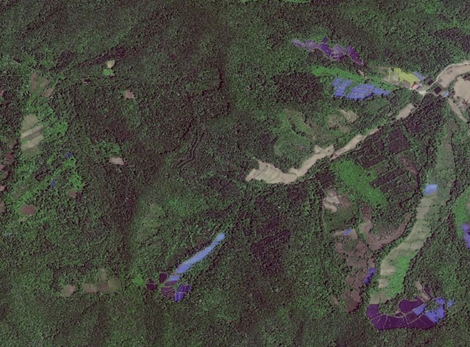
grass remote sensingis a technology that is used to detect and analyze the type distribution and biomass of grassland resources.
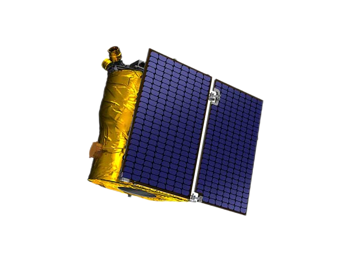
Changguang, as an excellent satellite company, offers a wide range of satellite for you to choose from.
Отправить запрос, связаться с поставщиком
Другие товары поставщика
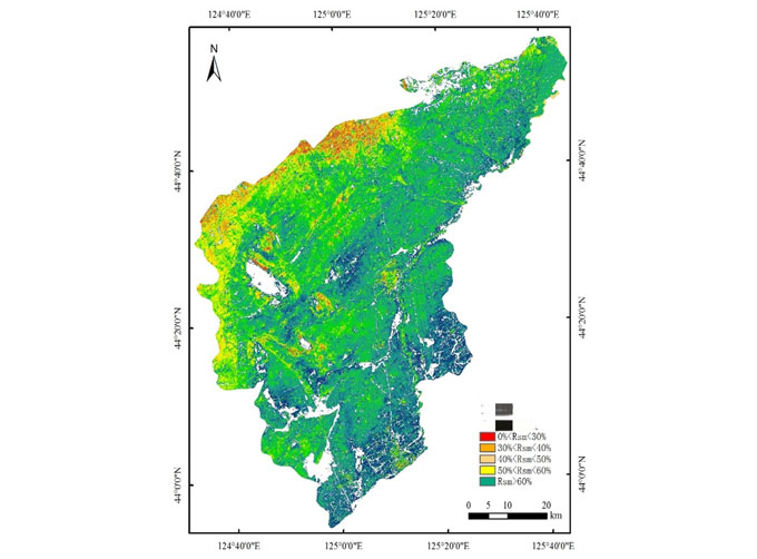 |
SATELLITE REMOTE SENSING IN AGRICULTURE | SATELLITE REMOTE SENSING IN AGRICULTURE Agricultural remote sensing refers to the comprehensive technology of agricultural applications such as us... |
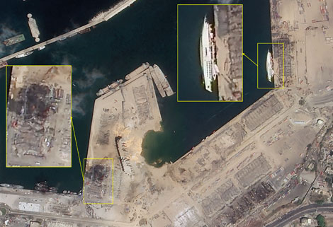 |
SATELLITE IMAGE MONITORING | Change remote sensing monitoringuses multi-temporal remote sensing data, a variety of image processing and pattern recognition methods to extract c... |
 |
PUSH BROOM SCANNING SERVICE | The massive imagery archieved data and task programming data that cover all over the world captured by JL1constellation. Great view and great detai... |
 |
Satellite Remote Sensing | Remote sensing is a non-contact, long-distance detection technology. Relying on the unique global data set of JL1, using our big data intelligence ... |
 |
SATELLITE PRODUCTS | SATELLITE PRODUCTS Jilin 1 satelliteconstellation is the core project of CGSTL. It is composed of 138 high-performance optical remote sensing sate... |
Похожие товары
 |
PHOTOGRAMMETRY REMOTE SENSING | Продавец: Chang Guang Satellite Technology Co., Ltd. | Photogrammetry remote sensingis to obtain reliable information about the earth, its environment a... |
 |
MARINE REMOTE SENSING | Продавец: Chang Guang Satellite Technology Co., Ltd. | MARINE REMOTE SENSING Ocean colour remote sensingrefers to remote sensing that takes the ocean a... |
 |
NIGHT SATELLITE IMAGE | Продавец: Chang Guang Satellite Technology Co., Ltd. | The SP and GF03C satellites of JL1 constellection can conduct fast shooting with high-resolutions... |
 |
MULTISPECTRAL IMAGES IN REMOTE SENSING | Продавец: Chang Guang Satellite Technology Co., Ltd. | Multispectral remote sensing refers to the multispectral data remote sensingtechnology that divid... |
 |
MULTI SPECTRAL IMAGERY | Продавец: Chang Guang Satellite Technology Co., Ltd. | The GP satellites of JL1 constellection have 26 spectral channels, covering optical remote sensin... |
