

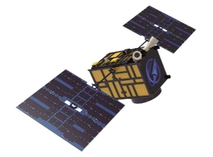
JL1 Satellite Manufacturing Product


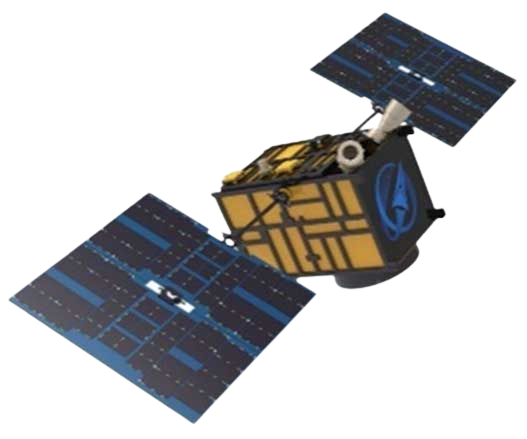
Based on "the integration of satellite-borne" and other core technologies, CGSTL has set up the commercial business dealing with the development and operation of satelliteand remote sensing information processing all in one.
REVOLUTIONARY JL1 SATELLITE INDUSTRIES PRODUCTS
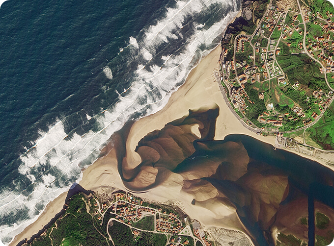
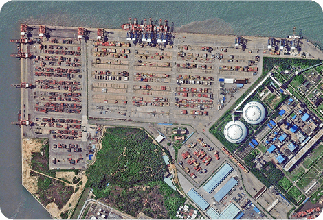
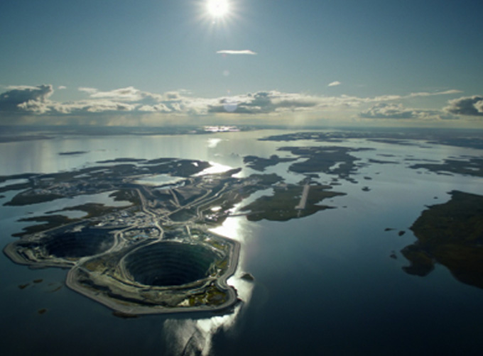
HIGH-QUALITY REMOTE SENSING INFORMATION
High-quality Remote Sensing Information
Jilin-1 satellite constellation can visit any place in the world 23 to 25 times a day, with the ability to update a global map twice a year and a national map 6 times a year.
STRONG SERVICE ABILITY
Strong Service Ability
Jilin-1 satellite constellation can produce services for agricultural and forestry production, environmental monitoring, smart city, geographical mapping, land planning, and other fields.
BROAD AND STABLE BUSINESS
Broad and Stable Business
The main business covers satellite development, satellite in-orbit delivery, satellite component development, UAV development, UAV component development, mapping services and remote sensing advanced products, industry application solutions, ground application systems, large data application services, etc.
Chang Guang Satellite Technology Co., Ltd. is a satellite manufacturing companies, we provide satellite industries products, satellite manufacturing, satellite communication service, etc. For more information, please feel free to contact us!
在线联系供应商
Other supplier products
 |
CUBESAT PLATFORM | The satellite platform can provide carrying services for the user's payload. 12U Cubesat Platform Non-standard 6U cube satellitePlatform F... |
 |
CUSTOMIZED SATELLITE TESTING SERVICE | Custom Satellite Solutions Jilin satellitecan provide customized remote-sensing information services to meet your specific needs. FEATURES OF C... |
 |
PUSH BROOM SCANNING SERVICE | The massive imagery archieved data and task programming data that cover all over the world captured by JL1constellation. Great view and great detai... |
 |
Satellites Data Service | At present, JL1 constellation has 72 on-orbit satellites in space and more than 5,000,000 square kilometers of new shooting area in the world are a... |
 |
INSURANCE SATELLITE REMOTE SENSING | Combining satellite and remote sensingtechnologies with rights confirmation data and land parcel segmentation technology can vectorize and spatiali... |
Same products
 |
PHOTOGRAMMETRY REMOTE SENSING | 卖方: Chang Guang Satellite Technology Co., Ltd. | Photogrammetry remote sensingis to obtain reliable information about the earth, its environment a... |
 |
MARINE REMOTE SENSING | 卖方: Chang Guang Satellite Technology Co., Ltd. | MARINE REMOTE SENSING Ocean colour remote sensingrefers to remote sensing that takes the ocean a... |
 |
NIGHT SATELLITE IMAGE | 卖方: Chang Guang Satellite Technology Co., Ltd. | The SP and GF03C satellites of JL1 constellection can conduct fast shooting with high-resolutions... |
 |
MULTISPECTRAL IMAGES IN REMOTE SENSING | 卖方: Chang Guang Satellite Technology Co., Ltd. | Multispectral remote sensing refers to the multispectral data remote sensingtechnology that divid... |
 |
MULTI SPECTRAL IMAGERY | 卖方: Chang Guang Satellite Technology Co., Ltd. | The GP satellites of JL1 constellection have 26 spectral channels, covering optical remote sensin... |

