

PHOTOGRAMMETRY REMOTE SENSING


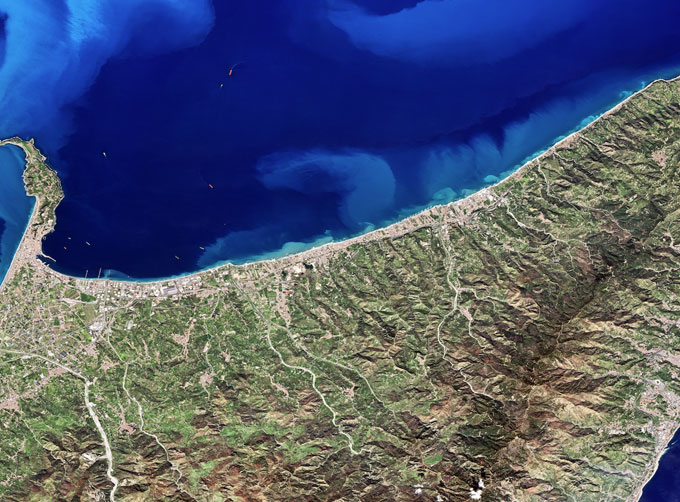
Photogrammetry remote sensingis to obtain reliable information about the earth, its environment and other natural objects and processes by using satellite imaging technology and then analyze and express the obtained data.
Chang Guang Satellite Technology Co., Ltd. is a satellite manufacturers, we provide photogrammetry and remote sensing, remote sensing and photogrammetry, satellite communication service, etc. Formore information, please feel free to contact us!
在线联系供应商
Other supplier products
 |
MULTISPECTRAL IMAGES IN REMOTE SENSING | Multispectral Remote Sensing Applications hyperspectral and multispectral remote sensingrefers to the remote sensing technology that divides the e... |
 |
MULTI SPECTRAL IMAGERY | The GP satellites of JL1 constellection have 26 spectral channels, covering optical remote sensing data from visible light to long wave infrared. ... |
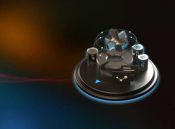 |
SATELLITE GROUND SYSTEMS | The mission of the ground satellitesystem is to track, measure and control the earth resources satellite, implement functional management, and rece... |
 |
JL1 Satellite Services | The technical index and function mode in terms of satellites research are taking the leading position in the world. Various satellite services such... |
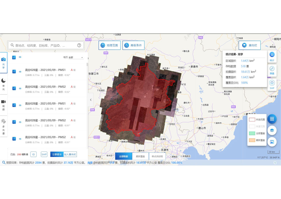 |
SATELLITE DATA MANAGEMENT | DATA MANAGEMENT SYSTEM SATELLITE DATA MANAGEMENT FEATURES 1 The data management system is the center of the storage, management and applicatio... |
Same products
|
|
PHOTOGRAMMETRY REMOTE SENSING | 卖方: Chang Guang Satellite Technology Co., Ltd. | Photogrammetry remote sensingis to obtain reliable information about the earth, its environment a... |
 |
MARINE REMOTE SENSING | 卖方: Chang Guang Satellite Technology Co., Ltd. | MARINE REMOTE SENSING Ocean colour remote sensingrefers to remote sensing that takes the ocean a... |
 |
NIGHT SATELLITE IMAGE | 卖方: Chang Guang Satellite Technology Co., Ltd. | The SP and GF03C satellites of JL1 constellection can conduct fast shooting with high-resolutions... |
 |
MULTISPECTRAL IMAGES IN REMOTE SENSING | 卖方: Chang Guang Satellite Technology Co., Ltd. | Multispectral remote sensing refers to the multispectral data remote sensingtechnology that divid... |
|
|
MULTI SPECTRAL IMAGERY | 卖方: Chang Guang Satellite Technology Co., Ltd. | The GP satellites of JL1 constellection have 26 spectral channels, covering optical remote sensin... |

