

Feiyan Aerial Remote Sensing Tech Co., Ltd


Contact information
Founded in 2003, Feiyan Aerial Remote Sensing Tech Co., Ltd. has been the nation’s largest independent geospatial data firm that provides geographic insights to many of the most influential projects in China. An industry leader in advanced mapping technology, Feiyan delivers the leading data quality with efficiency, while leveraging the most cutting-edge technologies for aerial data acquisitions, geospatial processing/analytics, and GIS visualization solutions.
Main business includes aerial photogrammetry, LiDAR data acquisition, high-precision DEM, orthophoto, DSM production, remote sensing image analysisand interpretation, geographic information engineering, three-dimensional urban modeling, 3D GIS industrial solutions, etc. Customers use the company’s solutions in a range of industrial disciplines – from urban planning and utilities to forestry, hydrology, agriculture, transportation, and natural resources.
High Tech: Feiyan has owned multiple most cutting-edge airborne sensors in the world. New RIEQL VQ-1560i provides a laser pulse repetition rate of up to 2 MHz. The LIDAR sensor, together with UltraCam Eagle, POS AV 610, Phase One PAN-U5 500 Mega Pixel camera and other leading systems, gives us unparalleled capabilities in the country to acquire the best remote sensing outcomes for mapping projects of different industries.
High Efficiency: From flight coordination to aerial photography implementation, data processing and application, the company has established solid aerial photography and GIS industrial service system, making us the well-known efficient remote sensing enterprise in China.
High Quality: Feiyan Earns multiple surveying and GIS quality awards every year. The achievements have won many national, provincial and ministerial awards for outstanding surveying and mapping projects, and have been awarded as provincial and municipal "Contract-abiding and Credit-worthy Enterprises" for many years.
Products:
 |
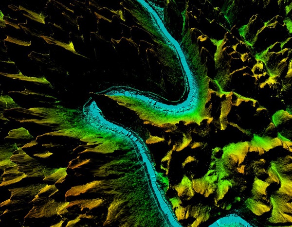
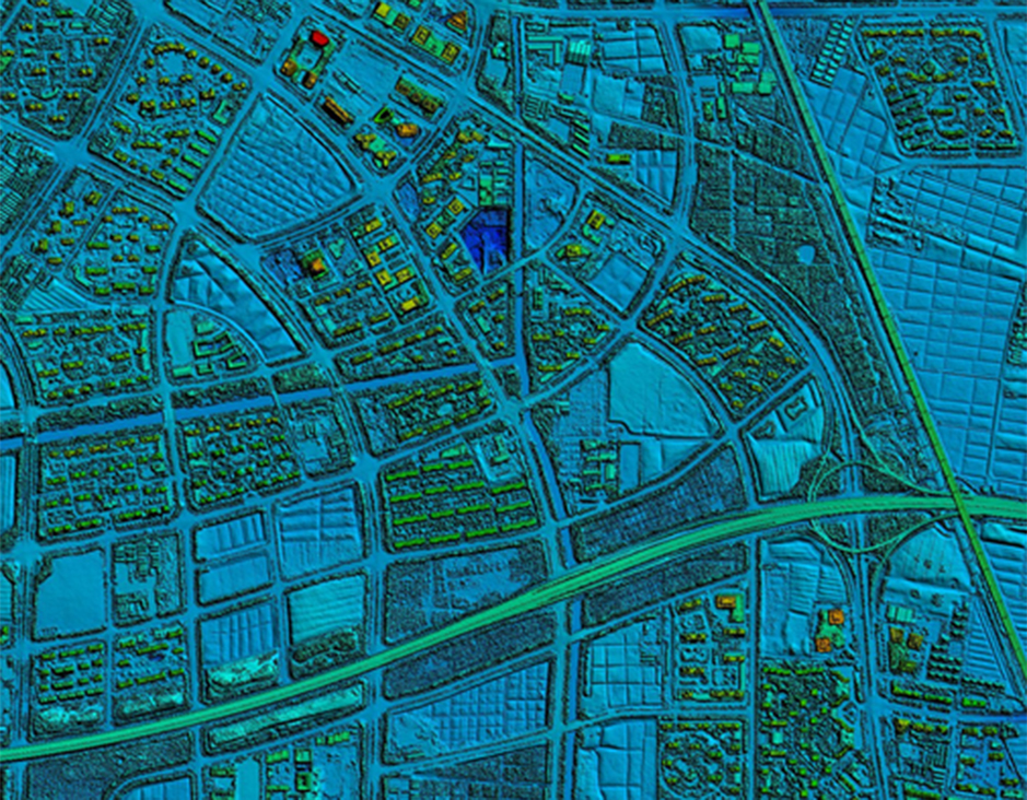
LIDAR | LIDAR Laser scanning allows spatial measurements thanks to capturing of a laser beam reflection. This method gives us information on the structure... |
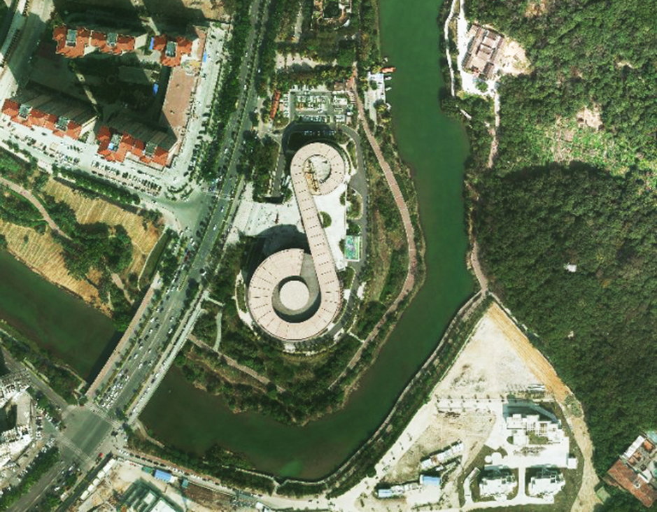 |
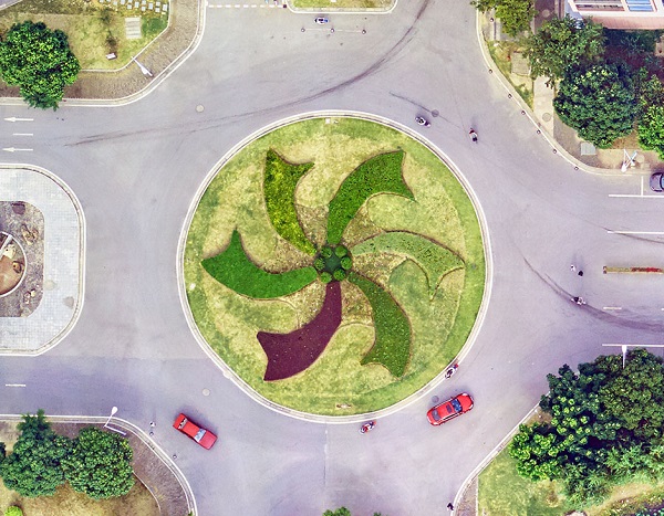
Orthophoto | Orthophoto Feiyan Technologyspecialises in high-resolution orthophoto map production including digital orthophotos and orthophoto mosaics from raw... |
 |
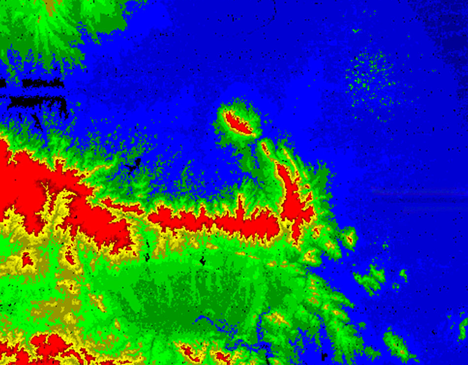
DEM Digital Elevation Model | DEM Digital Elevation Model DEM digital elevation model is a 3D representation of the terrain elevations found on surface of the earth. DEMs are g... |
 |
DTM Digital Terrain Model | DTMDigital Terrain Model DTM Digital Terrain Modelis a digital elevation model in which terrain data has been further enhanced with breaklines, cr... |
 |
3D Mapping Service | 3D Mapping Service Resolution: 5cm Project area: 220km² Duration: 11 months Output: 3D model Application: Urban planning From: Wuxi Muni... |
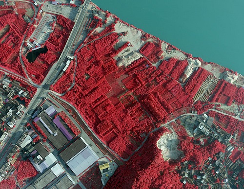 |
Color Infrared aerial photography | Color Infrared aerial photography Color Infrared aerial photography can not only be used to document changes to the environment, the health of for... |
