

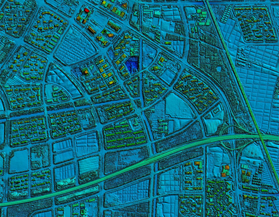
3D Mapping Service


3D Mapping Service
Resolution: 5cm
Project area: 220km²
Duration: 11 months
Output: 3D model
Application: Urban planning
From: Wuxi Municipal Bureau of Land and Resources
Application of3D Mapping Service
Transportation Network
Water, Sewage Pipelines
Natural & artificial drainage
Land use plans
Segregation of conflicting land uses
Urban Design
Landscaping
Urban Morphology
Green & open spaces
Mass & void maps
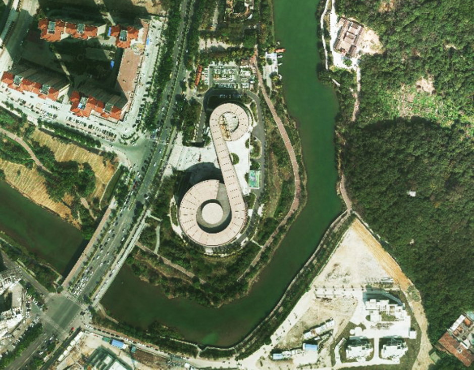
Break The Limits of Land Planning
Development plans of cities are still considered as equivalent to 2D land use plans. It restricts the experts in various manner thus much needed details and information about developments are missed out frequently. The development does not take place as per the proposed plans and thus a stark difference is seen once the growth takes place.
3D modelingcan help with this very problem since the development, density & land use colour coding can be seen & studied in combination. This will help is reducing the differences in proposed & actual development.
More information:
Send product request
Other supplier products
 |
DTM Digital Terrain Model | DTMDigital Terrain Model DTM Digital Terrain Modelis a digital elevation model in which terrain data has been further enhanced with breaklines, cr... |
 |
DEM Digital Elevation Model | DEM Digital Elevation Model DEM digital elevation model is a 3D representation of the terrain elevations found on surface of the earth. DEMs are g... |
 |
Orthophoto | Orthophoto Feiyan Technologyspecialises in high-resolution orthophoto map production including digital orthophotos and orthophoto mosaics from raw... |
|
|
3D Mapping Service | 3D Mapping Service Resolution: 5cm Project area: 220km² Duration: 11 months Output: 3D model Application: Urban planning From: Wuxi Muni... |
 |
Color Infrared aerial photography | Color Infrared aerial photography Color Infrared aerial photography can not only be used to document changes to the environment, the health of for... |
Same products
 |
CHT TECK Condenser Replacement Project | Seller: CHT TECK CO., LTD | CHT TECK Condenser Replacement Project We thank one of our clients for the photos they sent ... |
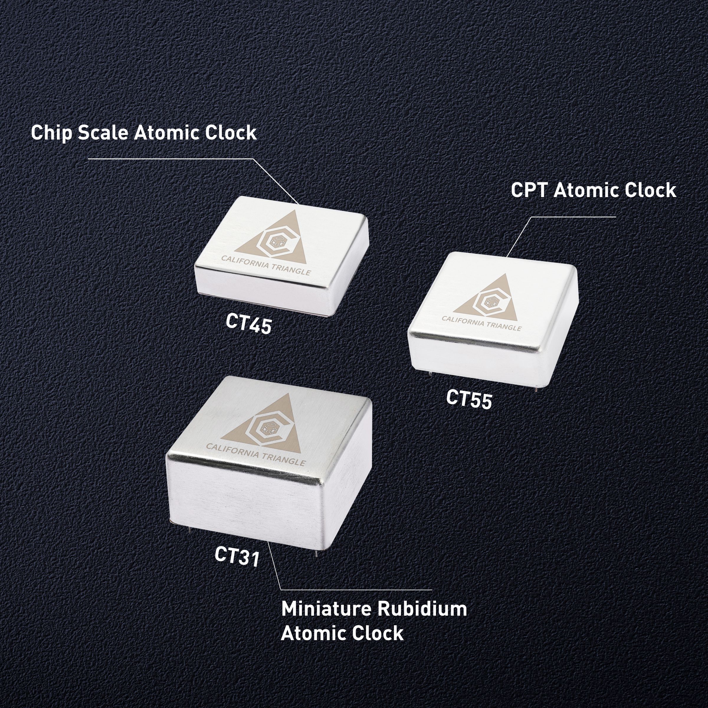 |
Chip scale atomic clock(CSAC): The miracle of precise time measurement | Seller: California Triangle | Since ancient times, humans have never stopped pursuing time, and precise time measurement has be... |
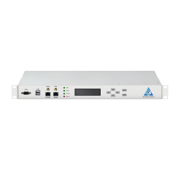 |
The application advantages of NTP time servers in the financial field | Seller: California Triangle | In the field of financial transactions, highly accurate NTP time servers are particularly importa... |
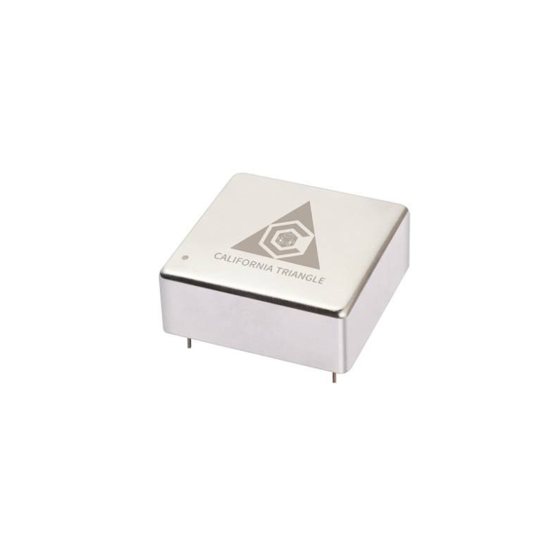 |
Introduction to the key indicators of thermostatic crystal oscillator | Seller: California Triangle | In the field of precision electronics and automation control, OCXOis one of the core devices for ... |
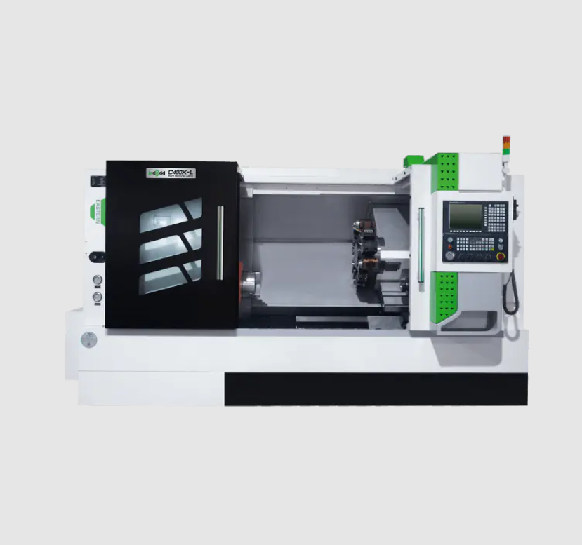 |
C400K-L Processing CNC Slant Bed Lathe | Seller: Taizhou Eastern CNC Technology Co., Ltd. | The cnc slant bed lathe C400K-L series full-function lathe adopts full guide rail protection, and... |
