

INSURANCE SATELLITE REMOTE SENSING

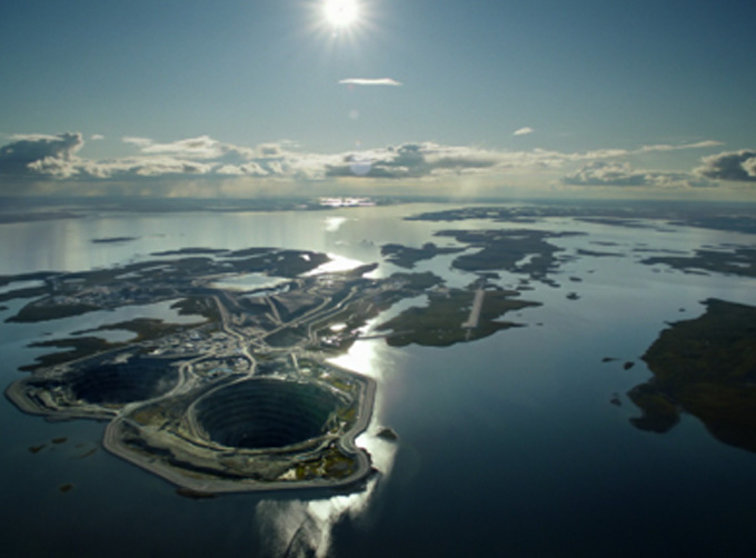
Combining satellite remote sensing technologies with rights confirmation data and land parcel segmentation technology can vectorize and spatialize the subject matter of insurance, then establish a spatial database of the subject matter of insurance to provide spatial data and analysis management support for insurance underwriting and claim settlement.
SATELLITE REMOTE SENSING FOR AERIAL IMAGERY ANALYSIS INSURANCE FEATURES
1
Accurate Risk Assessment: Satellite aerial imagery analysis insurance can provide detailed information on properties, such as their size, shape, location, and condition. This can help insurers to accurately assess the risks associated with a property and determine appropriate coverage and premiums.
2
Data breach coverage: Satellite aerial imagery analysis insurance often involves handling sensitive data, which can be vulnerable to cyber attacks. This aerial imagery insurance can provide coverage for data breaches and associated costs, such as legal fees, notification expenses, and credit monitoring services.
3
Data Analytics and Predictive Modelling: Satellites used for remote sensing in insurance can provide insurers with a wealth of data that can be used to develop predictive models and identify patterns and trends. This can help insurers to better understand risks and make more informed decisions about coverage, premiums, and underwriting.
4
Improved Underwriting: Satellite aerial imagery analysis insurance can help insurers to identify and evaluate risks that may not be visible through traditional methods, such as physical inspections or surveys. This can lead to more accurate underwriting and better risk selection.
5
Enhanced Customer Experience: By leveraging satellite aerial imagery analysis, insurers can provide their customers with more personalized and customized insurance solutions, based on the specific risks associated with their properties. This can lead to increased customer satisfaction and retention.
Chang Guang Satellite Technology Co., Ltd. is a satellite factory, we provide aerial imagery analysis insurance, aerial imagery insurance, satellite data service, etc. For more information, please feel free to contact us!
Send product request
Other supplier products
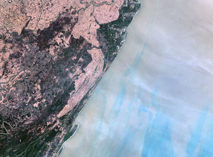 |
MULTI SPECTRAL IMAGERY | Multispectral Image Data The GP satellites of JL1 constellection have 26 spectral channels, covering optical remote sensing data from visible ligh... |
|
|
INSURANCE SATELLITE REMOTE SENSING | Combining satellite remote sensing technologies with rights confirmation data and land parcel segmentation technology can vectorize and spatialize ... |
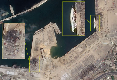 |
SATELLITE IMAGE MONITORING | Change remote sensing monitoringuses multi-temporal remote sensing data, a variety of image processing and pattern recognition methods to extract c... |
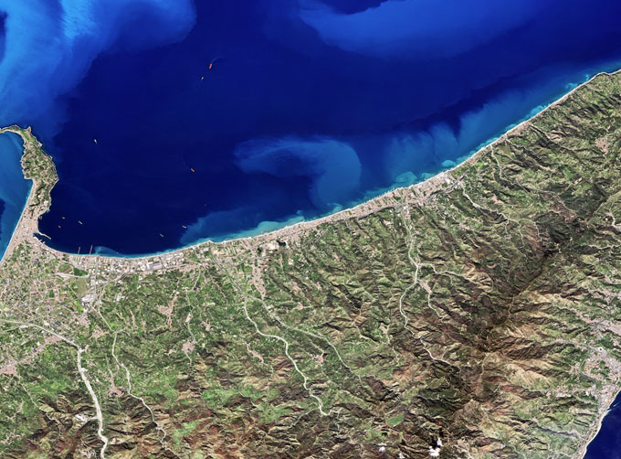 |
MULTISPECTRAL IMAGES IN REMOTE SENSING | Multispectral Remote Sensing Applications hyperspectral and multispectral remote sensingrefers to the remote sensing technology that divides the e... |
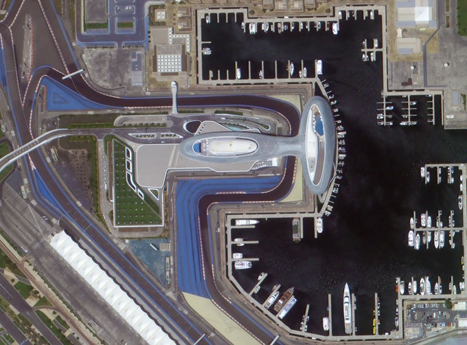 |
PHOTOGRAMMETRY REMOTE SENSING | Photogrammetry remote sensingis to obtain reliable information about the earth, its environment and other natural objects and processes by using sa... |
Same products
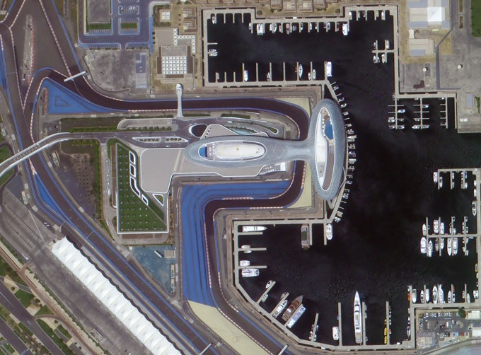 |
PHOTOGRAMMETRY REMOTE SENSING | Seller: Chang Guang Satellite Technology Co., Ltd. | Photogrammetry remote sensingis to obtain reliable information about the earth, its environment a... |
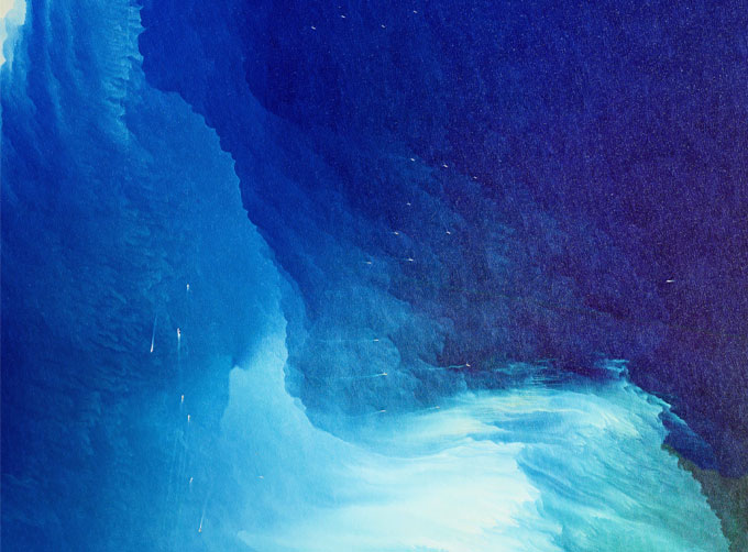 |
MARINE REMOTE SENSING | Seller: Chang Guang Satellite Technology Co., Ltd. | MARINE REMOTE SENSING Ocean colour remote sensingrefers to remote sensing that takes the ocean a... |
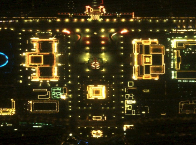 |
NIGHT SATELLITE IMAGE | Seller: Chang Guang Satellite Technology Co., Ltd. | The SP and GF03C satellites of JL1 constellection can conduct fast shooting with high-resolutions... |
 |
MULTISPECTRAL IMAGES IN REMOTE SENSING | Seller: Chang Guang Satellite Technology Co., Ltd. | Multispectral remote sensing refers to the multispectral data remote sensingtechnology that divid... |
 |
MULTI SPECTRAL IMAGERY | Seller: Chang Guang Satellite Technology Co., Ltd. | The GP satellites of JL1 constellection have 26 spectral channels, covering optical remote sensin... |

