

Introduction of Aerial Photo Drone (APD) Oblique Photograph System

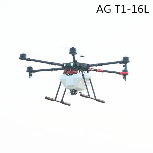
Traditional aerial photography can only shoot objects from vertical angles, while oblique photography carries multiple sensors on the same platform.At the same time,theoblique photography collectsimages from different angles, such as vertical and side viewing, which effectively makes up for the limitations of traditional aerial photography. So the Aerial Photo Drone (APD) Oblique Photograph System can be defined:with the APD as the flight platform, the aerial image acquisition system with tilt camera as mission equipment.
- The performance requirements for flight platforms.
At present, there are various kinds ofaerialphotodronein the market, which can be divided into internal combustion engine power and battery power according to the power system.It canalsobe divided into fixed and rotors (single rotor, multi-rotor)according to theflight modes.Because of the vibration of the flight platform itself, the battery power is better than the internal combustion engine; in the operating efficiency and endurance time, fixed wing is superior to rotor; in flight stability, the rotor is superior to the fixed wing. Because of the different uses of drones, their performance standards are different. A mapping APD requires a higher flight standard, which can be defined in terms of payload, cruising speed, practical lift, endurance, safety and wind resistance levels.
For example:
①The minimum load of theaerial photo droneis 2 kg;
②The multi-rotor cruising speed is greater than 6 m/s, and the cruising speed of fixed-wingAPDis greater than 10 m/s;
③The power endurancetimeof the battery islongerthan 25 min, and the internal combustion engine's power life islongerthan 1 h.
④The wind resistance requirement is not lower than the level 4 wind speed level;
⑤The practical lift of the APD can reach more than 1000 m, and the altitude is not less than 3000 m.
2.Performance requirements of obliquecameras
In thespecification of low altitude digital aerial photography(CH /Z 3005 - 2010), the aerial photographs of Surveying and mapping, that is, the photo tilt angle of vertical photography, are as follows: The dip angle is not more than 5 degrees, and the maximum is not more than 12 degrees. The ability of the existing aerial survey software has been greatly improved. On the basis of this standard, 15 degrees above the angle of tilt can be classified into the category of tilt photography. With the development of obliquephotography, obliquecameras no longer limit the number of cameras. The key technical indicators of obliquecameras are the ability to acquire images at different angles and the breadth and depth of single sorted operations. It includes five lens, three lens, double lens, multi lens camera, and a single camera system that can adjust the photographic angle of camera. In the supervisor standards of the APD, the requirement of aerial camera pixel is no less than 35 million. In oblique photography, it is not necessary to restrict the pixels of a single camera, but the control of the pixels that are acquired by one exposure. The performance requirements of obliquecameras can be limited from the aspects of image acquisition capability, operation time, exposure function, endurance time and POS recording function.
For example:
① The higher pixel of one exposure, the better of the obliquephotography effect , but the single lens is not less than 20 million pixels, and the first exposure is not less than 100 million pixels when consider the costs of the equipment;
② The operation time must be at least 90 min, preferably it has the ability with all-weather operation.
③ It has the fixed-point exposure function which ensures the images overlap degree can meet the requirements.
Hot Products
Selfie Drone S3
Air Selfie Drone S1
S2 Four- Axis Foldable Selfie Drone
Send product request
Other supplier products
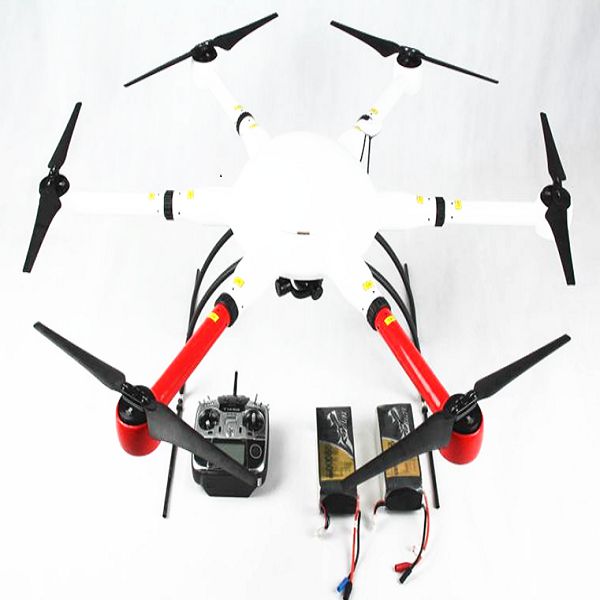 |
Drone Frame | Having a good quadcopter frame is just as important as having good electronics, as drone depend on lightweight, sturdy hulls for mounting component... |
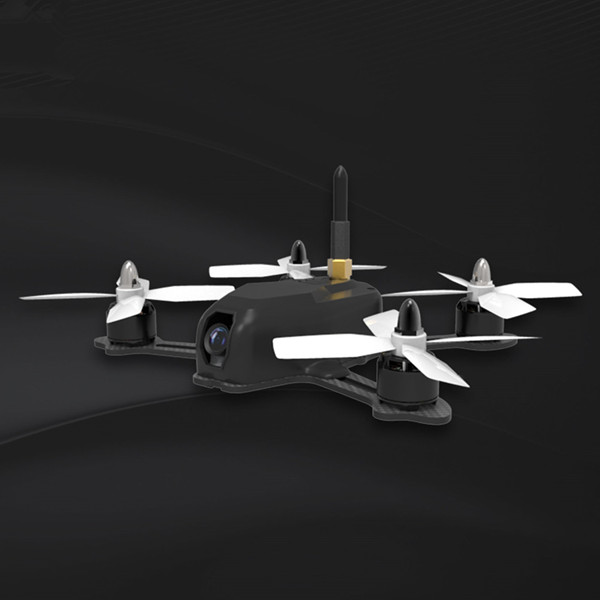 |
Racing Drone FPV Frame 115 | Battery antiskid stick Full 3K high strength carbon board Features of Racing Quadcopter Kit: Full 3K high strength carbon board to ensure that... |
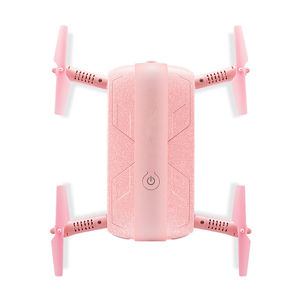 |
Selfie Drone | Compared to other Chinese UAV vendors,Shenzhen TitanFlying Technology Co., Ltdas one of the UAV drone companies, has the most experienced engineeri... |
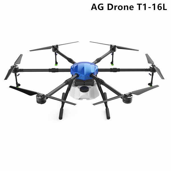 |
T1-16L UAV Farming AG Drone | T1-16L UAV Farming AG Drone spraying system equips a 10L capacity of a wave-proof tank, an efficient water pump, four nozzles. The wind-resistant n... |
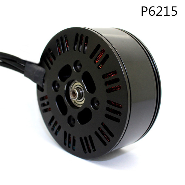 |
AG Drone Motor Series | Shenzhen TitanFlying Technology Co., Ltdis not an easy task to order or purchase from distant supplier, especially in international trade. This is ... |
Same products
 |
Ergonomic Tools for Indoor Mosquito and Bug Control | Seller: YIWU JIUXIN ELECTRIC CO., LTD. | The Handheld Bug Swatter from Yiwu Jiuxin Electric Co Ltd is designed for convenient household in... |
 |
Perimeter Intrusion Detection System | Seller: Raycom Co., Ltd | A (PIDS) is a security solution specifically designed to detect unauthorized access or intrusion ... |
 |
Buried Cable Detection Systems | Seller: Raycom Co., Ltd | provide reliable protection for applications that require hidden perimeter protection. These volu... |
 |
Industrial Articulating Borescope | Seller: 869233 | Industrial Articulating Borescope The M40 Series is an upgraded product based on the C40. It... |
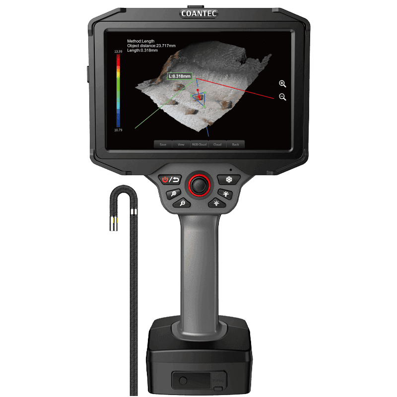 |
3D Measurement Borescope | Seller: 869233 | 3D Measurement Borescope The X5 Pro combines high-performance imaging, advanced image proces... |

