

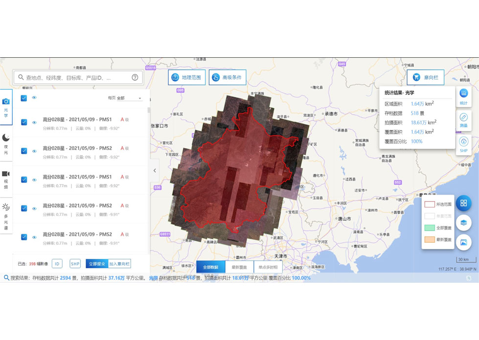
PHOTOGRAMMETRY REMOTE SENSING


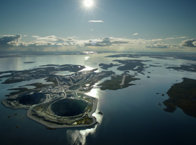
Photogrammetry remote sensingis to obtain reliable information about the earth, its environment and other natural objects and processes by using satellite imaging technology and then analyze and express the obtained data.
As one of satellite manufacturers, we can offer sorts of satellite servicesfor clients, anything you need, please leave us a message.
Отправить запрос, связаться с поставщиком
Другие товары поставщика
 |
SATELLITE GROUND SYSTEMS | The mission of the ground satellitesystem is to track, measure and control the earth resources satellite, implement functional management, and rece... |
 |
INSURANCE SATELLITE REMOTE SENSING | Combining satellite remote sensing technologies with rights confirmation data and land parcel segmentation technology can vectorize and spatialize ... |
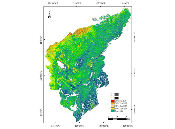 |
SATELLITE REMOTE SENSING IN AGRICULTURE | SATELLITE REMOTE SENSING IN AGRICULTURE Agricultural remote sensing refers to the comprehensive technology of agricultural applications such as us... |
 |
PUSH BROOM SCANNING SERVICE | The massive imagery archieved data and task programming data that cover all over the world captured by Jilin 1constellation. Great view and great d... |
 |
SATELLITE DATA MANAGEMENT | DATA MANAGEMENT SYSTEM SATELLITE DATA MANAGEMENT FEATURES 1 The data management system is the center of the storage, management and applicatio... |
Похожие товары
 |
PHOTOGRAMMETRY REMOTE SENSING | Продавец: Chang Guang Satellite Technology Co., Ltd. | Photogrammetry remote sensingis to obtain reliable information about the earth, its environment a... |
 |
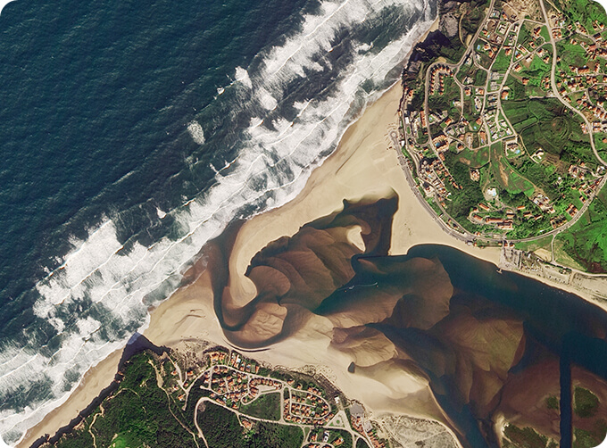
MARINE REMOTE SENSING | Продавец: Chang Guang Satellite Technology Co., Ltd. | MARINE REMOTE SENSING Ocean colour remote sensingrefers to remote sensing that takes the ocean a... |
 |
NIGHT SATELLITE IMAGE | Продавец: Chang Guang Satellite Technology Co., Ltd. | The SP and GF03C satellites of JL1 constellection can conduct fast shooting with high-resolutions... |
 |
MULTISPECTRAL IMAGES IN REMOTE SENSING | Продавец: Chang Guang Satellite Technology Co., Ltd. | Multispectral remote sensing refers to the multispectral data remote sensingtechnology that divid... |
 |
MULTI SPECTRAL IMAGERY | Продавец: Chang Guang Satellite Technology Co., Ltd. | The GP satellites of JL1 constellection have 26 spectral channels, covering optical remote sensin... |

