

PHOTOGRAMMETRY REMOTE SENSING


Photogrammetry remote sensingis to obtain reliable information about the earth, its environment and other natural objects and processes by using satellite imaging technology and then analyze and express the obtained data.
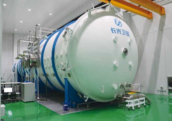
As one of satellite manufacturers, we can offer sorts of satellite servicesfor clients, anything you need, please leave us a message.
在线联系供应商
Other supplier products
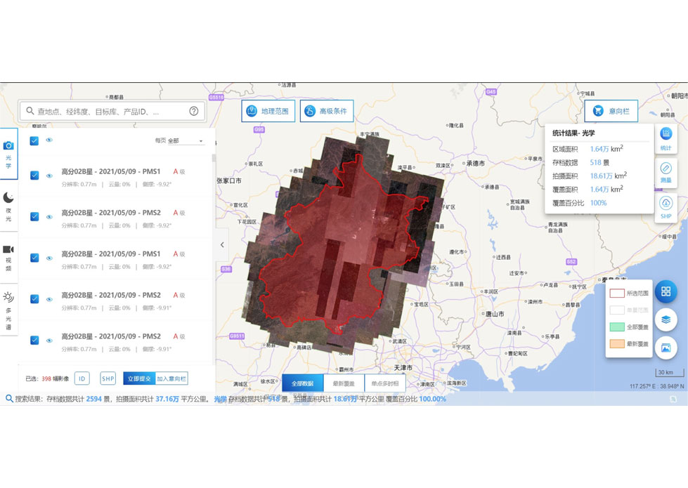 |
SATELLITE DATA MANAGEMENT | DATA MANAGEMENT SYSTEM SATELLITE DATA MANAGEMENT FEATURES 1 The data management system is the center of the storage, management and applicatio... |
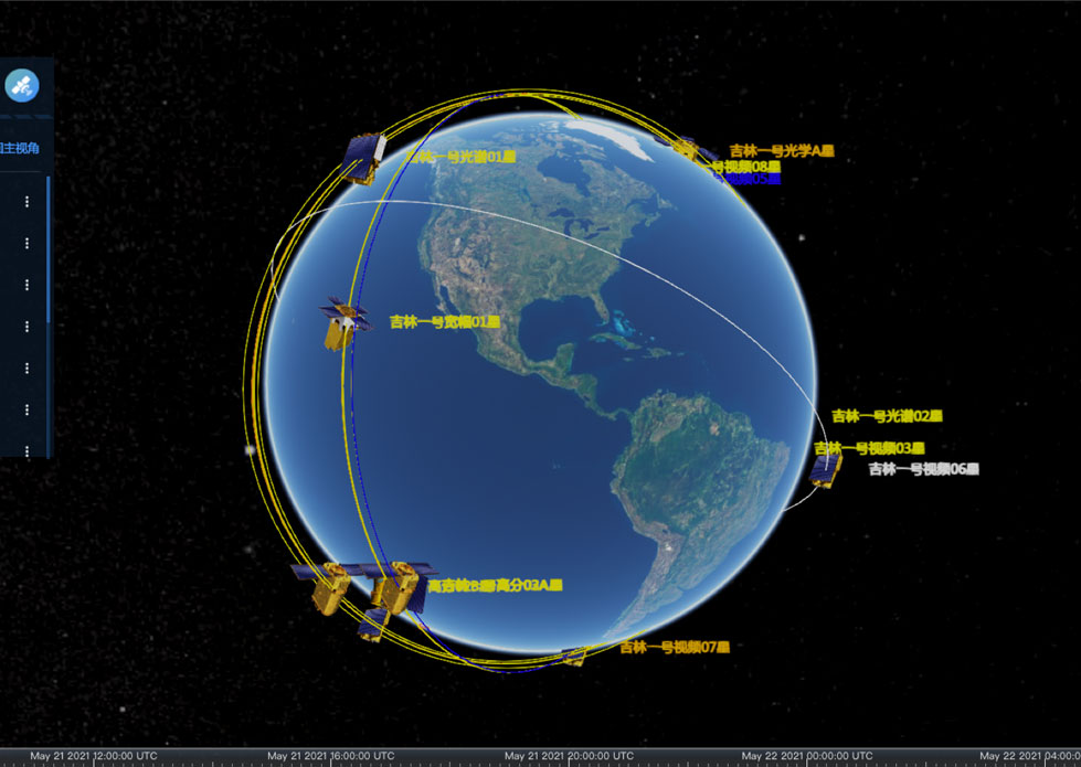 |
SATELLITE MISSION PLANNING | CONSTELLATION MISSION PLANNING SYSTEM SATELLITE MISSION PLANNING SOFTWARE FEATURES 1 The constellation mission planning system can accept the sh... |
 |
SATELLITE IMAGE VIDEO | Satellite Image Video The SP, GF03C and MF satellites of JL1 constellection can gaze at a single target point for 120 seconds at most to record ... |
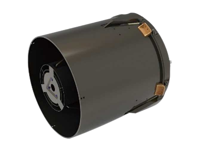 |
SATELLITE CAMERAS | Satellite Spy Camera Specialized devices that take high-quality images from space. 5m-resolution Multispectral Camera 2m-resolution Micro... |
 |
Satellites Testing Services | The satellite communication testingservices of CGSTL mainly consist of optical manufacture, small satellite testing, and customized service. SAT... |
Same products
 |
PHOTOGRAMMETRY REMOTE SENSING | 卖方: Chang Guang Satellite Technology Co., Ltd. | Photogrammetry remote sensingis to obtain reliable information about the earth, its environment a... |
 |
MARINE REMOTE SENSING | 卖方: Chang Guang Satellite Technology Co., Ltd. | MARINE REMOTE SENSING Ocean colour remote sensingrefers to remote sensing that takes the ocean a... |
 |
NIGHT SATELLITE IMAGE | 卖方: Chang Guang Satellite Technology Co., Ltd. | The SP and GF03C satellites of JL1 constellection can conduct fast shooting with high-resolutions... |
 |
MULTISPECTRAL IMAGES IN REMOTE SENSING | 卖方: Chang Guang Satellite Technology Co., Ltd. | Multispectral remote sensing refers to the multispectral data remote sensingtechnology that divid... |
 |
MULTI SPECTRAL IMAGERY | 卖方: Chang Guang Satellite Technology Co., Ltd. | The GP satellites of JL1 constellection have 26 spectral channels, covering optical remote sensin... |
