Drone Navigation


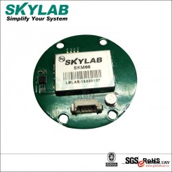
The drone navigation system refers to a device guiding the drone along a predetermined route with the required accuracy to its destination within the set time. In addition to the starting point and the target location, other parameters including the drone's real-time location, navigation speed and direction should also be clearly known to successfully complete the scheduled navigation mission. Thedrone navigationsystems are mainly divided into the non-autonomous navigation systems such as Global Positioning System (GPS) and autonomous navigation (inertial navigation) systems, with the disadvantages of being susceptible to interference and increasing error accumulation respectively. In the future, drones will be developed for obstacle avoidance, material or weapon deployment, and autonomous landing, which requires high precision, high reliability, and high anti-jamming performance. Therefore, a combination of multiple navigation technologies of “inertial navigation plus satellite navigation plus multi sensors plus photoelectric navigation" will be the development direction forward. Global Positioning System (GPS) developed by the United States has the global, 24-hour, continuous and precise three-dimensional navigation and positioning capacity and can provide the positioning, time and speed for any point in the three-dimensional world. In the near future, as China's Beidou navigation system is gradually perfected, civil drones can also be equipped with their own navigation systems. Inertial navigation is based on Newton's laws of mechanics. This navigation system relies on accelerometers installed in carriers (aircraft, ships, rockets, etc.) to measure the acceleration of the carrier in three-axial directions and gains the instantaneous speed, position and posture of the carrier by integration.
Other supplier products
|
|
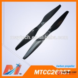
Drone Propellers |
In the drone power system, propellers are components that convert mechanical energy into the pushing power for aircraft. Propellers generally use c... |
|
|
Drone Flight Control System |
Flight Control System The UAV flight control system is the "brain" of the UAV system, which mainly completes the functions of flighting, controllin... |
|
|
high density 14.8v 20000mah lipo battery pack for uav for Agricultural spray |
Quick Details
Product Description
SpecificationsPlace of Origin:Guangdong, China (Mainland)Brand Name:UpowerModel Number:UP-22000-25C-6... |
|
|
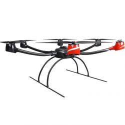
Industrial Drones |
Industrial UAV refers to unmanned aerial vehicle that can be used in the fields such as mapping, fire protection, security, electricity, energy use... |
|
|
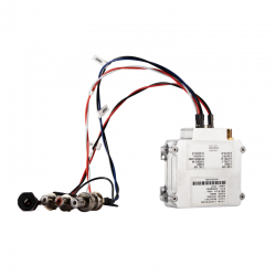
Drone Wireless Video Transmitter |
Unmanned aerial vehicle (UAV) graphic transmission station refers to the equipment used for the transmission of images of unmanned aerial vehicles,... |
All supplier products
Same products


