

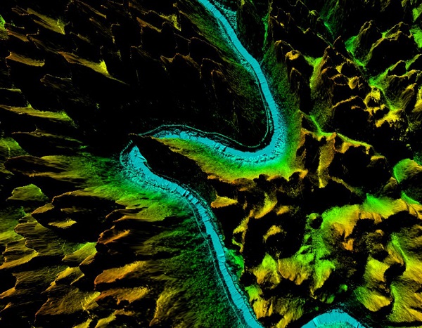
LIDAR


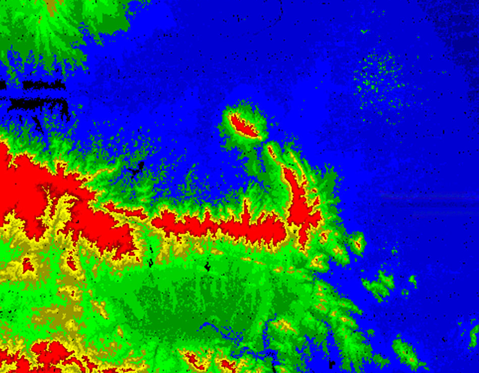
LIDAR
Laser scanning allows spatial measurements thanks to capturing of a laser beam reflection. This method gives us information on the structure and 3D position of registered objects. The resulting point cloud can have varied density (from several up to several dozens points/m²). Each point is rectified to a system of geodetic coordinates and then classified according to client’s desired schema. The final product may be a point cloud, DTM, DSM, 3D model or visualisation. ALS helps when you need to know the size and shape of an object or to see and model surfaces under tree canopy.
Lidar Mapping Services
Feiyan Technologyfocus on offerringhigh accuracy Lidar Mapping Services. Lidar, which stands for Light Detection and Ranging, is a remote sensing method that we use light in the form of a pulsed laser to measure variable distances ranges to the Earth. These light pulses—combined with other data recorded by the airborne system-generate precise, 3D information about the shape and surface characteristics of the Earth.
A lidar instrument principally consists of a laser, a scanner, and a specialized GPS receiver. Airplanes and helicopters are the most commonly used platforms for acquiring lidar data over broad areas. Two types of lidar are topographic and bathymetric. Topographic lidar typically uses a near-infrared laser to map the land, while bathymetric lidar uses water-penetrating green light to also measure seafloor and riverbed elevations.
Specification of Lidar Mapping Services
Resolution: ≥0.25 points/㎡, >0.2m
Project area: 17,500km²
Duration: 3 months
Output: Classified point cloud, DEM(1:10000)
Application: National aerospace remote sensing image
From: National Geographic Information Center & Henan Provincial Bureau of Surveying, Mapping and Geographic Information
More information:
Send product request
Other supplier products
|
|
LIDAR | LIDAR Laser scanning allows spatial measurements thanks to capturing of a laser beam reflection. This method gives us information on the structure... |
 |
3D Mapping Service | 3D Mapping Service Resolution: 5cm Project area: 220km² Duration: 11 months Output: 3D model Application: Urban planning From: Wuxi Muni... |
 |
Color Infrared aerial photography | Color Infrared aerial photography Color Infrared aerial photography can not only be used to document changes to the environment, the health of for... |
 |
Orthophoto | Orthophoto Feiyan Technologyspecialises in high-resolution orthophoto map production including digital orthophotos and orthophoto mosaics from raw... |
 |
DEM Digital Elevation Model | DEM Digital Elevation Model DEM digital elevation model is a 3D representation of the terrain elevations found on surface of the earth. DEMs are g... |
Same products
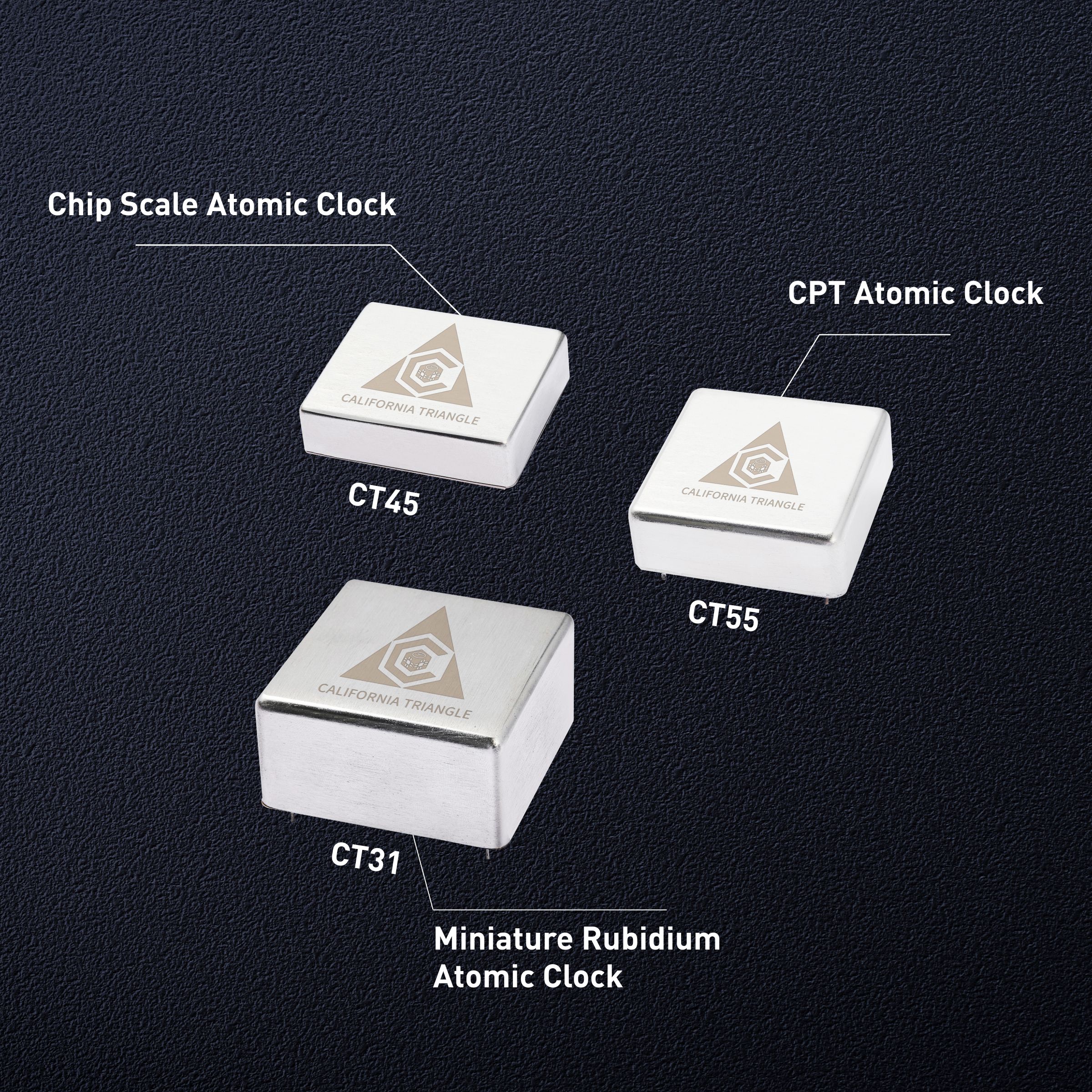 |
Chip scale atomic clock(CSAC): The miracle of precise time measurement | Seller: California Triangle | Since ancient times, humans have never stopped pursuing time, and precise time measurement has be... |
 |
The application advantages of NTP time servers in the financial field | Seller: California Triangle | In the field of financial transactions, highly accurate NTP time servers are particularly importa... |
 |
Introduction to the key indicators of thermostatic crystal oscillator | Seller: California Triangle | In the field of precision electronics and automation control, OCXOis one of the core devices for ... |
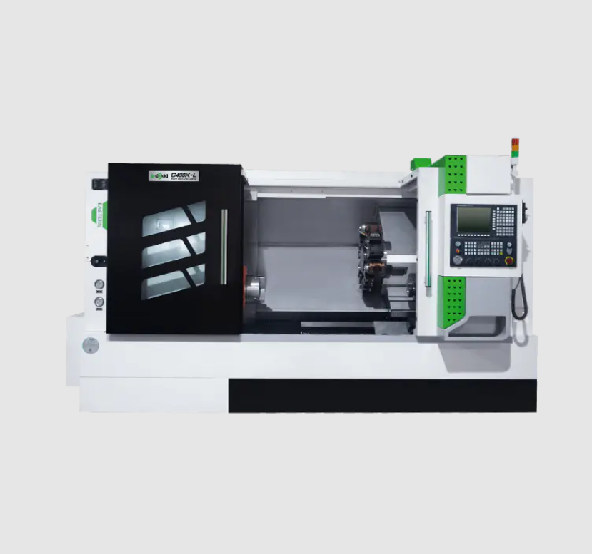 |
C400K-L Processing CNC Slant Bed Lathe | Seller: Taizhou Eastern CNC Technology Co., Ltd. | The cnc slant bed lathe C400K-L series full-function lathe adopts full guide rail protection, and... |
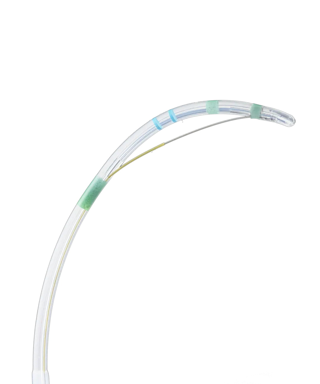 |
Sphincterotomes | Seller: MICRO-TECH (Nanjing) Co., Ltd | Performance Characteristics Tapered tip Monofilament cutting wire KEY BENEFITS Tapered ti... |

