Aerial UAV—Control Survey

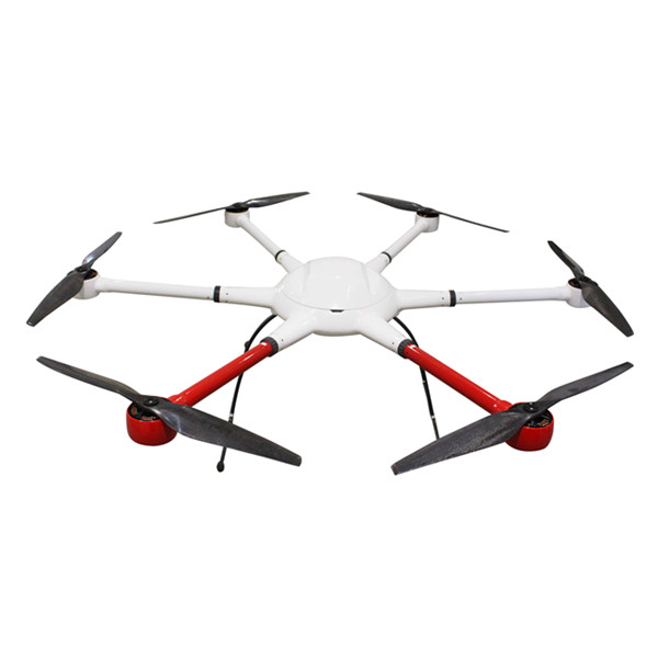
TheAerial UAVis to ensure the accuracy ofaerialtriangulationand determine the absolute position of objects in space.In the conventional low altitude digital aerial photogrammetry external specification, the layout of control points is specified in detail, which is the basis for ensuring the accuracy of large scale mapping. The technique of oblique photograph requires higher image overlap than traditional photography, and the requirement of image control point layout is not suitable for high resolution unmanned aerial UAV oblique photogrammetry. Aerial UAV usually adopts GPS positioning mode, and has POS data itself. It plays a significant role in determining the relative position between images, and can improve the accuracy of empty three computation.
1Conventionalthree-dimensionalmodeling
Based on the Smart 3D algorithm, a control interval can be provided from the angle of the finalaerial triangulationfeature point-cloud. The proposed value is to set a control point at every 20000~40000 pixels, in which the difference POS data (relatively accurate initial value) can be relaxed to 40000 pixels, and at least 20000 pixels of the differential POS data are set. At the same time, it should be applied flexibly according to the actual terrain and terrain conditions of each task, such as very large terrain undulating, large area vegetation and surface water features very few, and need to increase the control point. The measurement of control points adopts attached traverse measurement to get high-precision location information.
2Safeguard of emergency surveying and mapping
After the earthquake, landslides, debris flow and other natural disasters, in order to obtain thedisaster area’s three-dimensional data, we can not control the measurement according to the traditional operation mode.By reading the coordinates of the Google map, the handedGPS measurement, and the RTK measurement, the few control points of the disaster area can be quickly obtained, and the real three-dimensional model of the disaster area can be generatedtoprovide assistance for post-disaster relief.
3 The selection requirements of point location
The target image of the image control point should be clear,and select the place where the spot is easy to be identified, is fixed and easy to measure.When the condition is available, we can make the mark point of the control point of thefield workfirst, usually choose the white (or red) paint to mark thecross sign, andtestseveral images before the aerial photographyto ensure that the cross sign can be correctly identified on theobliqueimage. After the control point measurement is completed, it is necessary to make the control point distribution map in time, control the spot information table, accurately describe the location and position information of each control point, and facilitate the use of the internal pricking points.
Hot Products
Industry drone T2
VTOL Fixed Wing Drone T20
Agriculture Spraying Drone T1-10L Naza
在线联系供应商
Other supplier products
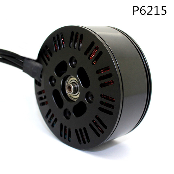 |
AG Drone Motor Series | Shenzhen TitanFlying Technology Co., Ltdis not an easy task to order or purchase from distant supplier, especially in international trade. This is ... |
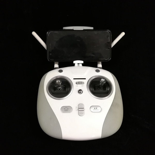 |
Agriculture Drone | Shenzhen TitanFlying Technology Co., Ltdis a high-tech enterprise and professional Aero-Model manufacturer that unifies product design, research &a... |
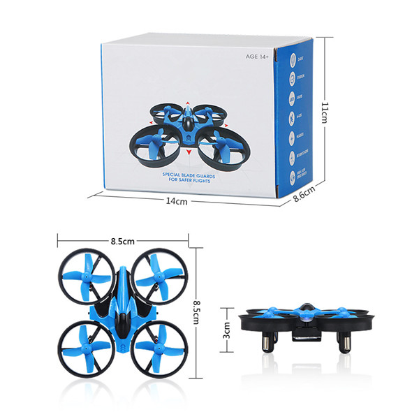 |
TTF M1 RC Mini Drone Quadcopter | Light-integral-streamline fuselage design Self- stabilization technology Unique fan blade design Strong anti-break capacity Mini drone M1-Qua... |
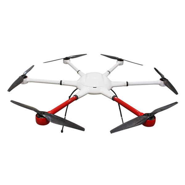 |
Industrial Aerial Drones T2 | With various payloads functions Lightweight materials Regional-planning mode Payload Modules Heavy- lift Capacity Industrial Grade Drones T2 T2 pr... |
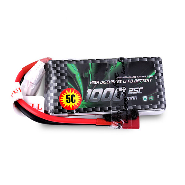 |
FPV Drone Battery | RoHS and CE quality testing standards fueled by LiPo battery worry-free of safety FPV 4s Drone Battery For most drone newbies, the best racing dron... |