

SATELLITE IMAGE VIDEO


Satellite Image Video
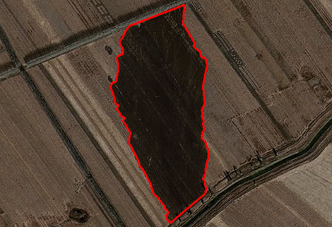
The SP, GF03C and MF satellites of JL1 constellection can gaze at a single target point for 120 seconds at most to record the instantaneous changes of ground objects.
Features of Live Satellite Video of Earth
1
Track the target.
2
Record the track and analyze the situation.
SATELLITE IMAGE VIDEO PARAMETERS
|
Indicators |
Parameter |
||
|
SP03 |
SP04-08 |
GF03C |
|
|
Substar point ground pixel resolution |
Panchromatic:≤ 0.92 m |
Panchromatic:≤ 1.2 m |
|
|
Spectral bands |
BLUE:410-500nmGREEN:500-580nmRED:580-690nm |
BULE:437-512nmGREEN:489-585nmRED:580-723nm |
BLUE:437-512nmGREEN:489-585nmRED:580-723nm |
|
Standard scene size (at nadir) |
11 km×4.5km |
||
|
Standard duration |
10s; 30s; 60s |
||
|
Frame rate |
5 frame /s |
||
|
Radiation accuracy |
3% |
||
|
Video image stabilization accuracy |
≤ 0.5 pixel |
||
Changguang Jilin 1satellite constellation is the core project under construction by CGSTL. The first phase of the project consists of 138 high-performance optical remote sensing satellitecovering video, high resolution, wide band, infrared, multispectral and other series.
Send product request
Other supplier products
 |
REMOTE SENSING IN ENVIRONMENT | remote sensing in environmentis a general term for monitoring, evaluating and forecasting the dynamic changes of the natural and social environment... |
 |
PUSH BROOM SCANNING SERVICE | The massive imagery archieved data and task programming data that cover all over the world captured by JL1constellation. Great view and great detai... |
 |
SATELLITE COMPONENTS PRODUCT | Cubesat Componentsand Satellite ComponentsProduct It is used for mechanical connection between each single machine and satellite. Satellite -... |
 |
INSURANCE SATELLITE REMOTE SENSING | Combining satellite remote sensing technologies with rights confirmation data and land parcel segmentation technology can vectorize and spatialize ... |
 |
Satellite Remote Sensing | Satellite Remote Sensing Remote sensing is a non-contact, long-distance detection technology. Relying on the unique global data set of JL1, using ... |
Same products
 |
HBVCAM Sony IMX317 8M Pixle HD 4K CMOS Camera Module | Seller: Huiber Vision Technology Co., Ltd | The HBVCAM Sony IMX317 8M Pixel4k Usb Camera Moduleis a cutting-edge imaging solution designed to... |
 |
FOV 100 degree distortionless lens OV2710 HD CMOS camera module | Seller: Huiber Vision Technology Co., Ltd | HD CMOS camera module from- the ultimate solution for high-quality imaging and video capture! Thi... |
 |
Sapphire Lenses | Seller: Hyperion Optics | Sapphire is the best medium for sapphire glasslenses that require a broad spectrum of light trans... |
 |
Magnesium Fluoride Lenses | Seller: Hyperion Optics | Uses of Magnesium Fluoride CVD magnesium fluoride (MgF2-CVD) has good mechanical properties, che... |
 |
Germanium Lenses | Seller: Hyperion Optics | In the range of 2-12 μm, germanium is the most commonly used material for the production of sp... |

