

Satellites Data Service


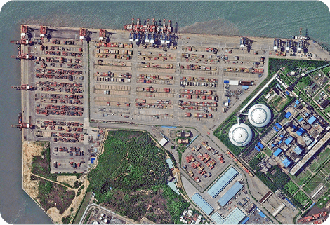
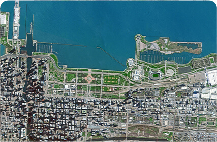
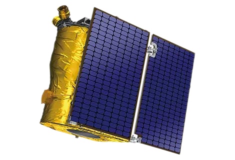
At present, JL1 constellation has 72 on-orbit satellites in space and more than 5,000,000 square kilometers of new shooting area in the world are added every day.
SATELLITES DATA SERVICE-A NEW WAY TO OBSERVE OUR PLANET
Archived data
The satellite data servicerefers to providing users with archive remote sensing data query and download services. Users can query the archived data of JL1 satellite constellation at all levels through the online distribution platform or API interface calling, and then users can submit the data requirements as needed. The imagery datawill be delivered to users through the public cloud platform within the specified time.
Task programming
Task programming refers to providing users photography service with the ability of JL1 satellite constellation. Users can submit future-oriented point/area shooting requirements. After responding to the requirements, JL1 Measurement and Operation Control Center plans shooting task and data production within a specified period. Users will receive the entity data through the public cloud platform within the specified time.
Base map basic data service
BaseMap basic data service refers to publishing the data of a specific area and a specific time range into an online map service after mosaic and slicing, which is provided to users or various business systems for direct reference. The basic data of a map is tile data with 3 spectra and 8 bits.
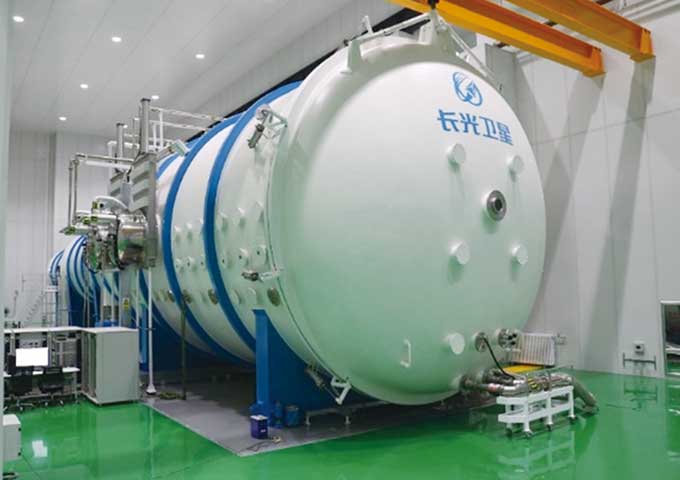
Chang GuangSatellite Technology Co., Ltd. is a satellite data companies, we provide satellite data products, satellite data system, aerial satellite services, etc. For more information about types of satellite data products, please feel free to contact us!
Send product request
Other supplier products
 |
Satellite Hardware | The satellite communication hardwares of CGSTL mainly consist of satellite products, CubeSat platform, satellite cameras, standalone products, and ... |
 |
MULTISPECTRAL IMAGES IN REMOTE SENSING | Multispectral remote sensing refers to the multispectral data remote sensingtechnology that divides the electromagnetic wave radiated by ground obj... |
 |
Satellite Hardware | The satellite communication hardwares of CGSTL mainly consist of satellite products, CubeSat platform, satellite cameras, standalone products, and ... |
 |
Satellites Testing Services | The satellite communication testingservices of CGSTL mainly consist of optical manufacture, small satellite testing, and customized service. SAT... |
 |
INSURANCE SATELLITE REMOTE SENSING | Combining satellite and remote sensingtechnologies with rights confirmation data and land parcel segmentation technology can vectorize and spatiali... |
Same products
 |
PHOTOGRAMMETRY REMOTE SENSING | Seller: Chang Guang Satellite Technology Co., Ltd. | Photogrammetry remote sensingis to obtain reliable information about the earth, its environment a... |
 |
MARINE REMOTE SENSING | Seller: Chang Guang Satellite Technology Co., Ltd. | MARINE REMOTE SENSING Ocean colour remote sensingrefers to remote sensing that takes the ocean a... |
 |
NIGHT SATELLITE IMAGE | Seller: Chang Guang Satellite Technology Co., Ltd. | The SP and GF03C satellites of JL1 constellection can conduct fast shooting with high-resolutions... |
|
|
MULTISPECTRAL IMAGES IN REMOTE SENSING | Seller: Chang Guang Satellite Technology Co., Ltd. | Multispectral remote sensing refers to the multispectral data remote sensingtechnology that divid... |
 |
MULTI SPECTRAL IMAGERY | Seller: Chang Guang Satellite Technology Co., Ltd. | The GP satellites of JL1 constellection have 26 spectral channels, covering optical remote sensin... |

