

REMOTE SENSING IN FORESTRY


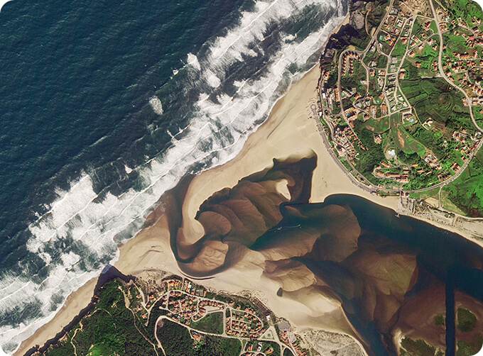
Remote sensing in forestryis a technology that uses the inherent characteristics of electromagnetic waves reflected or radiated by objects to identify objects and their environments by studying the characteristics of electromagnetic waves. It is called forestry remote sensing to monitor the growth of forest trees and forecast forest pests and diseases.
CONTENT OF FORESTRY REMOTE SENSING SERVICE PRODUCT SYSTEM OF CGSTL
|
Product name |
Service content |
Service frequency |
|
|
1 |
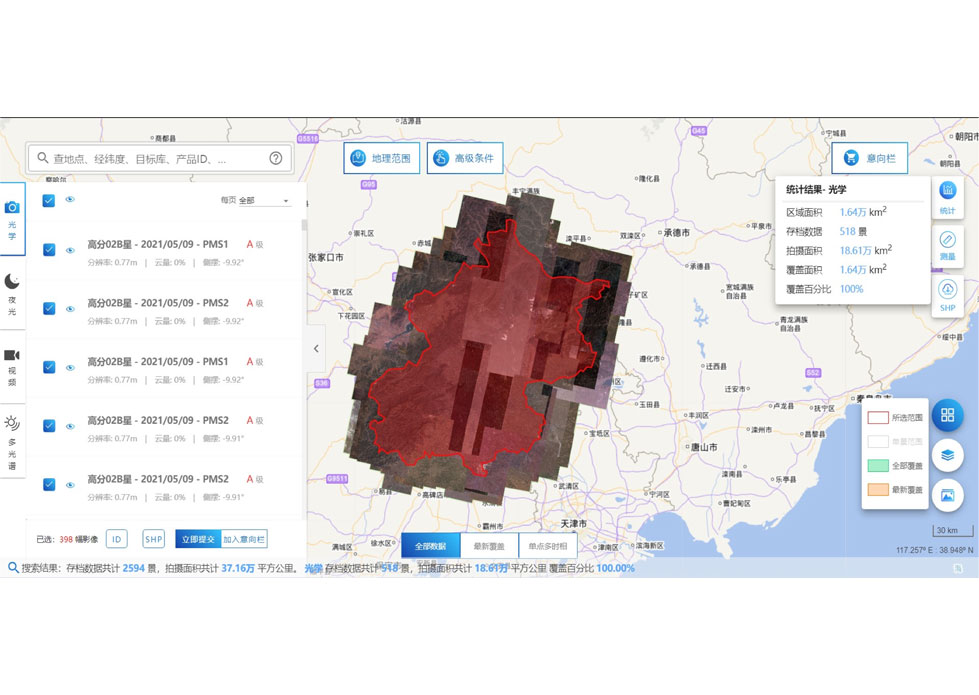
Distribution and change monitoring of forestry resources |
Spatial distribution of forest types and forest land change monitoring |
Once a year |
|
2 |
Forest vegetation growth monitoring |
Monitoring the growth of forest land such as planted forest and economic forest |
Once a quarter |
|
3 |
Forest fire early warning and monitoring |
Carry out forest fire risk assessment of township administrative units |
Once a day |
|
Carry out nationwide high-frequency identification of fire point by satellite remote sensing |
Once per 10 minutes |
||
|
Forest fire emergency monitoring via Jilin 1 satelliteconstellation |
On demand |
||
|
4 |
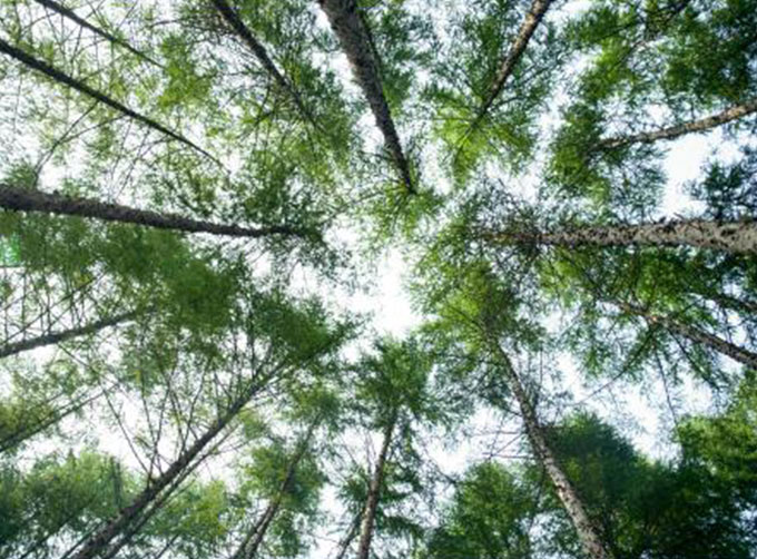
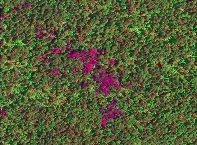
Sky ground cooperative remote sensing monitoring of dead and discolored standing trees |
Conduct the general survey of dead and discolored standing trees by the means of “space-sky-ground” coordination, wherein conducting general investigation by satellite, detailed survey by UAV and on-the-spot verification on the ground. |
On demand |
If you want to know more application of remote sensing in forestry, please visit our website.
If you want to know more satelliteservices, please leave us a message.
Отправить запрос, связаться с поставщиком
Другие товары поставщика
 |
SATELLITE IMAGE MONITORING | Change remote sensing monitoringuses multi-temporal remote sensing data, a variety of image processing and pattern recognition methods to extract c... |
 |
STEREO SATELLITE DATA | The data of SP or GF satellites of JL1 constellection can be used as stereoscopic mapping to produce DSM results with resolution better than 1m. ... |
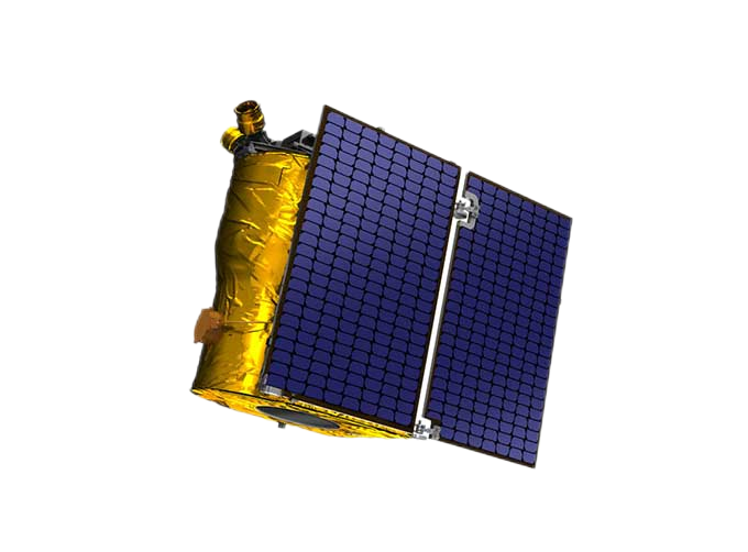 |
SATELLITE PRODUCTS | Satellite Communication Products Jilin1satellite constellation is the core project of CGSTL. It is composed of 138 high-performance optical remo... |
 |
PUSH BROOM SCANNING SERVICE | The massive imagery archieved data and task programming data that cover all over the world captured by JL1constellation. Great view and great detai... |
 |
SATELLITE DATA MANAGEMENT | DATA MANAGEMENT SYSTEM SATELLITE DATA MANAGEMENT FEATURES 1 The data management system is the center of the storage, management and applicatio... |
Похожие товары
 |
PHOTOGRAMMETRY REMOTE SENSING | Продавец: Chang Guang Satellite Technology Co., Ltd. | Photogrammetry remote sensingis to obtain reliable information about the earth, its environment a... |
 |
MARINE REMOTE SENSING | Продавец: Chang Guang Satellite Technology Co., Ltd. | MARINE REMOTE SENSING Ocean colour remote sensingrefers to remote sensing that takes the ocean a... |
 |
NIGHT SATELLITE IMAGE | Продавец: Chang Guang Satellite Technology Co., Ltd. | The SP and GF03C satellites of JL1 constellection can conduct fast shooting with high-resolutions... |
 |
MULTISPECTRAL IMAGES IN REMOTE SENSING | Продавец: Chang Guang Satellite Technology Co., Ltd. | Multispectral remote sensing refers to the multispectral data remote sensingtechnology that divid... |
 |
MULTI SPECTRAL IMAGERY | Продавец: Chang Guang Satellite Technology Co., Ltd. | The GP satellites of JL1 constellection have 26 spectral channels, covering optical remote sensin... |

