

CUBESAT PLATFORM

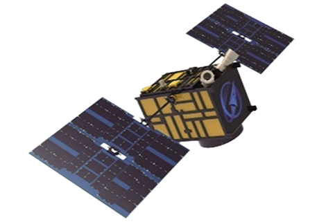
Cubesat for Sale
The cube satellite platform can provide carrying services for the user's payload.
12U Cubesat Platform
Non-standard 6U Cubesat Platform
FEATURES OF CUBESAT PLATFORM
Strong carrying capacity and high reliability.
JL1 ARE HERE TO HELP
Massive imagery data in both daily archived or task programming is changing the way you see the world.
If you want to know more details of cubesat magnetometer, please leave us a message.
Relying on the advantages of increasing number of ChangguangJL1 satellites, the satellite dataand its products have the characteristics of strong coverage, high cost performance, abundant amount of archived data, customizable shooting demand, flexible programming service and short delivery time, etc.
在线联系供应商
Other supplier products
 |
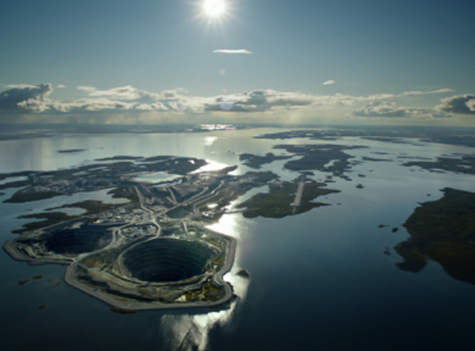
REMOTE SENSING IN FORESTRY | Remote sensing in forestryis a technology that uses the inherent characteristics of electromagnetic waves reflected or radiated by objects to ident... |
 |
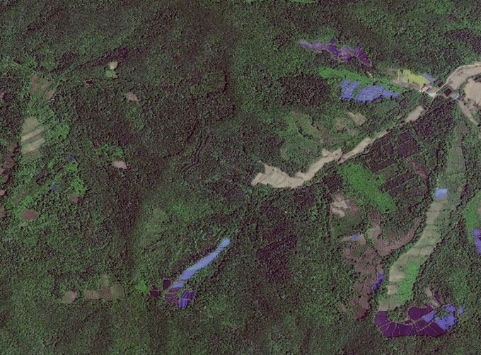
INSURANCE SATELLITE REMOTE SENSING | Combining satellite remote sensing technologies with rights confirmation data and land parcel segmentation technology can vectorize and spatialize ... |
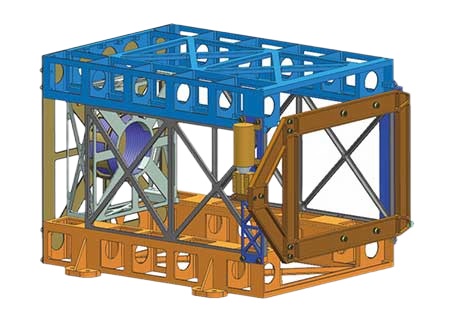 |
SATELLITE COMPONENTS PRODUCT | Cubesat Componentsand Satellite ComponentsProduct It is used for mechanical connection between each single machine and satellite. Satellite -... |
 |
GREENBELT SATELLITE REMOTE SENSING | grass remote sensingis a technology that is used to detect and analyze the type distribution and biomass of grassland resources. Changguang, as ... |
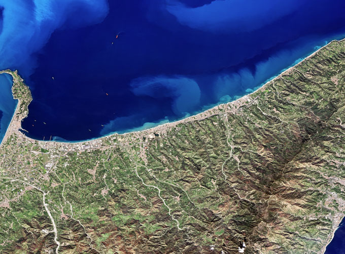 |
MULTISPECTRAL IMAGES IN REMOTE SENSING | Multispectral Remote Sensing Applications hyperspectral and multispectral remote sensingrefers to the remote sensing technology that divides the e... |
Same products
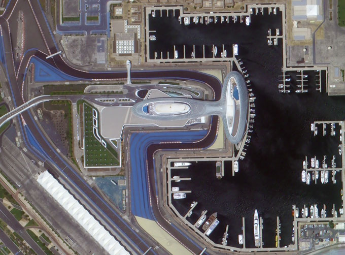 |
PHOTOGRAMMETRY REMOTE SENSING | 卖方: Chang Guang Satellite Technology Co., Ltd. | Photogrammetry remote sensingis to obtain reliable information about the earth, its environment a... |
 |
MARINE REMOTE SENSING | 卖方: Chang Guang Satellite Technology Co., Ltd. | MARINE REMOTE SENSING Ocean colour remote sensingrefers to remote sensing that takes the ocean a... |
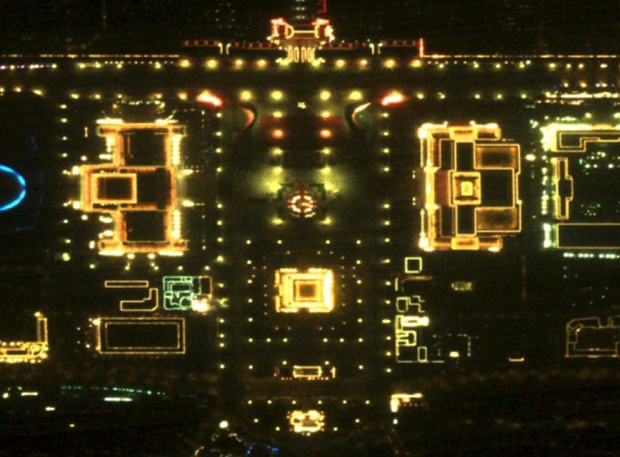 |
NIGHT SATELLITE IMAGE | 卖方: Chang Guang Satellite Technology Co., Ltd. | The SP and GF03C satellites of JL1 constellection can conduct fast shooting with high-resolutions... |
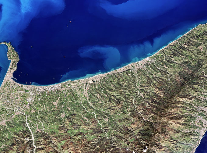 |
MULTISPECTRAL IMAGES IN REMOTE SENSING | 卖方: Chang Guang Satellite Technology Co., Ltd. | Multispectral remote sensing refers to the multispectral data remote sensingtechnology that divid... |
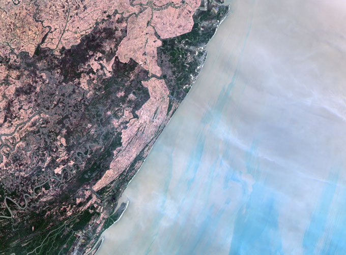 |
MULTI SPECTRAL IMAGERY | 卖方: Chang Guang Satellite Technology Co., Ltd. | The GP satellites of JL1 constellection have 26 spectral channels, covering optical remote sensin... |

