Chang Guang Satellite Technology Co., Ltd.

Contact information
CGST was founded in December 1st, 2014, it is the first commercial remote sensing satellite company in China. With the total registered capital of 1.97 billion yuan (30.9 millions USD), the company is composed of Jilin provincial government, CIOMP, social capital and technical backbone.On the basis of "the integration of satellite-borne”, "the integration of airborne” and other core technologies, CGSTL has set up the commercial business dealing with the development and operation of satellite and unmanned aircraft, as well as remote sensing information processing all in one. The main business covers satellite development, satellite in-orbit delivery, satellite component development, mapping services, remote sensing advanced products, industry application solutions, ground application systems, large data application services, etc.
Products:
| MULTI SPECTRAL IMAGERY | The GP satellites of JL1 constellection have 26 spectral channels, covering optical remote sensing data from visible light to long wave infrared. ... | |
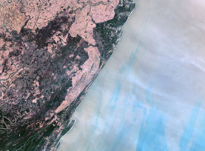
| MULTISPECTRAL IMAGES IN REMOTE SENSING | Multispectral remote sensing refers to the multispectral data remote sensingtechnology that divides the electromagnetic wave radiated by ground obj... | |
| NIGHT SATELLITE IMAGE | The SP and GF03C satellites of JL1 constellection can conduct fast shooting with high-resolutions and multispectrums at night, which can reflect hu... | |
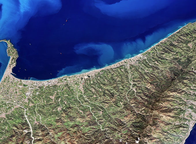
| MARINE REMOTE SENSING | MARINE REMOTE SENSING Ocean colour remote sensingrefers to remote sensing that takes the ocean and coastal zone as the monitoring and research obj... | |
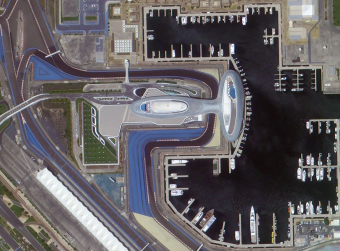
| PHOTOGRAMMETRY REMOTE SENSING | Photogrammetry remote sensingis to obtain reliable information about the earth, its environment and other natural objects and processes by using sa... |


