
MARINE REMOTE SENSING


MARINE REMOTE SENSING
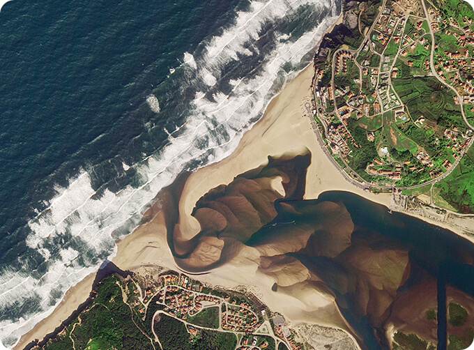
Ocean colour remote sensingrefers to remote sensing that takes the ocean and coastal zone as the monitoring and research object, including remote sensing oceanography, biological oceanography and chemical ocean remote sensing. Ocean remote sensinguses sensors to carry out long-distance non-contact observation of the ocean to obtain images or data of the marine landscape and marine elements.
For more about satellite data systemand Jilin 1 satellite, please feel free to contact us!
Send product request
Other supplier products
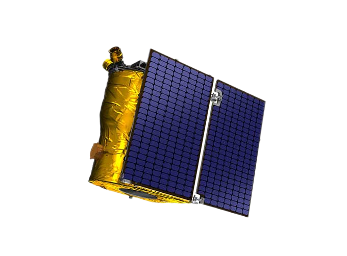 |
SATELLITE PRODUCTS | Satellite Communication Products Jilin1satellite constellation is the core project of CGSTL. It is composed of 138 high-performance optical remo... |
 |
PUSH BROOM SCANNING SERVICE | The massive imagery archieved data and task programming data that cover all over the world captured by JL1constellation. Great view and great detai... |
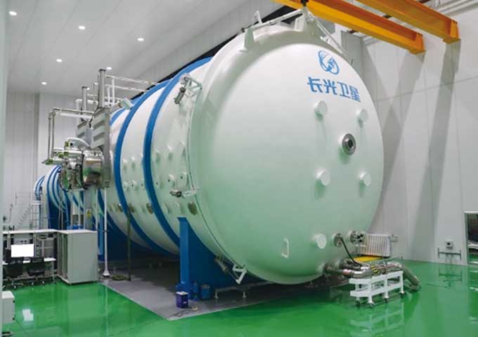 |
Satellites Testing Services | The satellite communication testingservices of CGSTL mainly consist of optical manufacture, small satellite testing, and customized service. SAT... |
 |
MULTI SPECTRAL IMAGERY | Multispectral Image Data The GP satellites of JL1 constellection have 26 spectral channels, covering optical remote sensing data from visible ligh... |
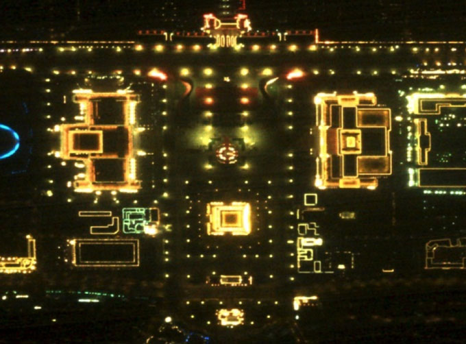 |
NIGHT SATELLITE IMAGE | Satellite View of Earth at Night The SP and GF03C satellites of JL1 constellection can conduct fast shooting with high-resolutions and multispectr... |
Same products
 |
PHOTOGRAMMETRY REMOTE SENSING | Seller: Chang Guang Satellite Technology Co., Ltd. | Photogrammetry remote sensingis to obtain reliable information about the earth, its environment a... |
|
|
MARINE REMOTE SENSING | Seller: Chang Guang Satellite Technology Co., Ltd. | MARINE REMOTE SENSING Ocean colour remote sensingrefers to remote sensing that takes the ocean a... |
 |
NIGHT SATELLITE IMAGE | Seller: Chang Guang Satellite Technology Co., Ltd. | The SP and GF03C satellites of JL1 constellection can conduct fast shooting with high-resolutions... |
 |
MULTISPECTRAL IMAGES IN REMOTE SENSING | Seller: Chang Guang Satellite Technology Co., Ltd. | Multispectral remote sensing refers to the multispectral data remote sensingtechnology that divid... |
 |
MULTI SPECTRAL IMAGERY | Seller: Chang Guang Satellite Technology Co., Ltd. | The GP satellites of JL1 constellection have 26 spectral channels, covering optical remote sensin... |
