

REMOTE SENSING IN ENVIRONMENT


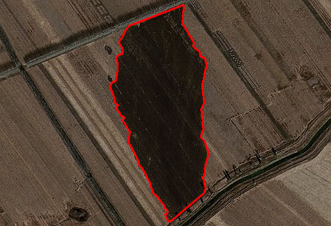
remote sensing in environmentis a general term for monitoring, evaluating and forecasting the dynamic changes of the natural and social environment by using various remote sensing technologies. satellite environmental monitoringcan quickly provide reliable basis for environmental monitoring, evaluation and prediction.
MAIN PRODUCT SYSTEM CONTENTS OF ENVIRONMENTAL PROTECTION REMOTE SENSING SERVICE OF CGSTL
|
Product name |
Service frequency |
|
|
1 |
Bare soil dust source monitoring product |
Basic: Once a month Customized: On demand |
|
2 |
Straw incineration and full quantitative disposal monitoring product |
Straw burning:10 times/minute Straw removal/burning:2-3 times/month |
|
3 |
Urban and rural black-smelly water pollution monitoring product |
Basic: Once a quarter Customized: On demand |
|
4 |
Irregular solid waste stacking monitoring product |
Basic: Once a month Customized: On demand |
|
5 |
Ecological protection warning line monitoring product |
Basic: Once a quarter Customized: On demand |
Changguang, as an excellent satellite manufacturers, offers a wide range of satellite for you to choose from.
Отправить запрос, связаться с поставщиком
Другие товары поставщика
 |
SATELLITE IMAGE MONITORING | Change remote sensing monitoringuses multi-temporal remote sensing data, a variety of image processing and pattern recognition methods to extract c... |
 |
Satellites Testing Services | The satellite communication testing services of CGSTL mainly consist of optical manufacture, satellite testing, and customized service. CHANGGUA... |
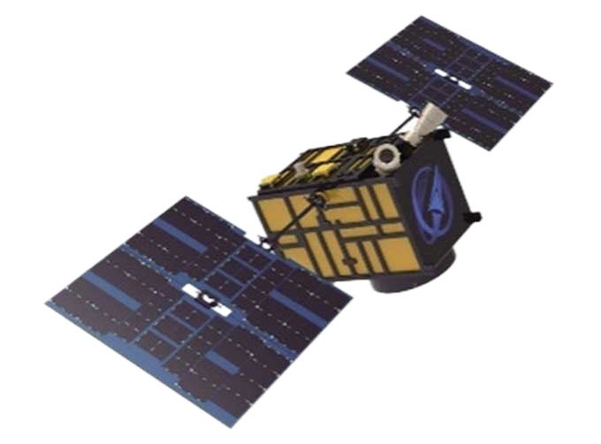 |
CUBESAT PLATFORM | The satellite platform can provide carrying services for the user's payload. 12U Cubesat Platform Non-standard 6U cube satellitePlatform F... |
|
|
REMOTE SENSING IN ENVIRONMENT | remote sensing in environmentis a general term for monitoring, evaluating and forecasting the dynamic changes of the natural and social environment... |
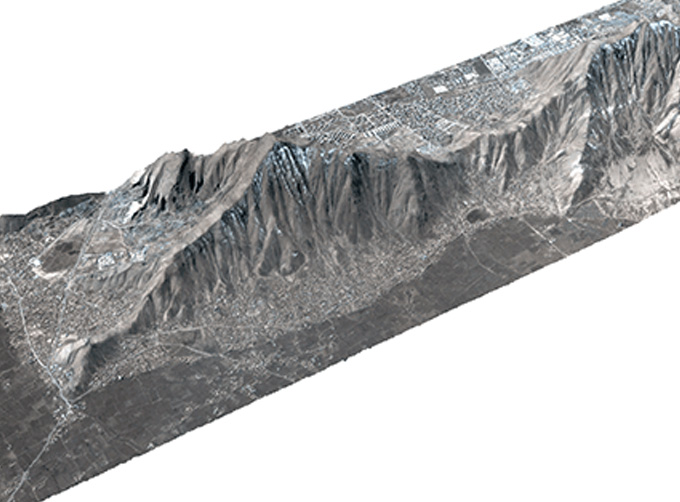 |
STEREO SATELLITE DATA | The data of SP or GF satellites of JL1 constellection can be used as stereoscopic mapping to produce DSM results with resolution better than 1m. ... |
Похожие товары
 |
PHOTOGRAMMETRY REMOTE SENSING | Продавец: Chang Guang Satellite Technology Co., Ltd. | Photogrammetry remote sensingis to obtain reliable information about the earth, its environment a... |
 |
MARINE REMOTE SENSING | Продавец: Chang Guang Satellite Technology Co., Ltd. | MARINE REMOTE SENSING Ocean colour remote sensingrefers to remote sensing that takes the ocean a... |
 |
NIGHT SATELLITE IMAGE | Продавец: Chang Guang Satellite Technology Co., Ltd. | The SP and GF03C satellites of JL1 constellection can conduct fast shooting with high-resolutions... |
 |
MULTISPECTRAL IMAGES IN REMOTE SENSING | Продавец: Chang Guang Satellite Technology Co., Ltd. | Multispectral remote sensing refers to the multispectral data remote sensingtechnology that divid... |
 |
MULTI SPECTRAL IMAGERY | Продавец: Chang Guang Satellite Technology Co., Ltd. | The GP satellites of JL1 constellection have 26 spectral channels, covering optical remote sensin... |
